
1926 Map of Tuscaloosa
USGS Topo · Published 1926About this map
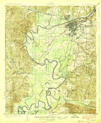
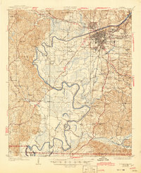
The Black Warrior River defines the landscape of this 1920s survey, its winding course punctuated by engineering works like Lock No 10 and Lock No 12 near Tuscaloosa. The city is depicted in significant detail, showing the early layout of the University of Alabama campus and the sprawling grounds of the State Hospital. South of the urban center, the river meanders through dramatic loops such as Snows Bend and Hemphill Bend, where the terrain drops toward the Tuscaloosa and Hale County line. The rural interior is dotted with local institutions essential to early 20th-century life, including the Hull Consolidated School, Beautiful Zion Church, and the County Poor Farm. Industrial markers like Cribbs Mill and the Mobile and Ohio RR reflect a region deeply tied to its river-and-rail economy.
Find a feature on this map
91 named features on this map. Tap any name to fly to it.
Don’t see what you’re looking for? This feature index may not catch every label — zoom into the map to look around manually.
Map Details
Editions of this 1926 Tuscaloosa Map
3 editions found
Other maps of this area

1899 · Brookwood
USGS Topo · 1:125,000

1924 · Tuscaloosa
USGS Topo · 1:62,500

1926 · Samantha
USGS Topo · 1:48,000

1927 · Eutaw
USGS Topo · 1:48,000

1928 · Samantha
USGS Topo · 1:62,500

1929 · Searles
USGS Topo · 1:48,000

1931 · Cottondale
USGS Topo · 1:48,000

1931 · Eutaw
USGS Topo · 1:62,500

1934 · Searles
USGS Topo · 1:62,500

1934 · Cottondale
USGS Topo · 1:62,500