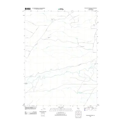
2012 Map of Tuscan Buttes NE
USGS Topo · Published 2012About this map
Coleman Canal and the Coleman Powerhouse define the southern landscape of this 2012 Shasta County survey, marking the sophisticated water management infrastructure utilized in the region. The map documents a predominantly rural ranching environment, anchored by established holdings such as Bogard Ranch, Armstrong Ranch, and Scharsch Ranch. These family-named landmarks are connected by a network of local routes like Dersch Rd and Ash Creek Rd, which navigate the drainages of Ash Creek, Lack Creek, and the larger Battle Creek. Notable engineering features such as the Asbury Pipe and Coleman Forebay further illustrate the area's specialized hydraulic and utility history. Genealogists and local historians can trace legacy ranch boundaries and original road names that have persisted into the early 21st century.
Find a feature on this map
29 named features on this map. Tap any name to fly to it.
Don’t see what you’re looking for? This feature index may not catch every label — zoom into the map to look around manually.
Map Details
Editions of this 2012 Tuscan Buttes NE Map
This is the sole edition of this map. No revisions or reprints were ever made.
Other maps of this area

1886 · Lassen Peak
USGS Topo · 1:250,000

1890 · Red Bluff
USGS Topo · 1:250,000

1892 · Lassen Peak
USGS Topo · 1:250,000

1894 · Lassen Peak
USGS Topo · 1:250,000

1894 · Red Bluff
USGS Topo · 1:250,000

1901 · Redding
USGS Topo · 1:125,000

1935 · Burney
USGS Topo · 1:96,000

1935 · Paynes Creek
USGS Topo · 1:96,000

1939 · Burney
USGS Topo · 1:125,000

1941 · Mineral
USGS Topo · 1:125,000