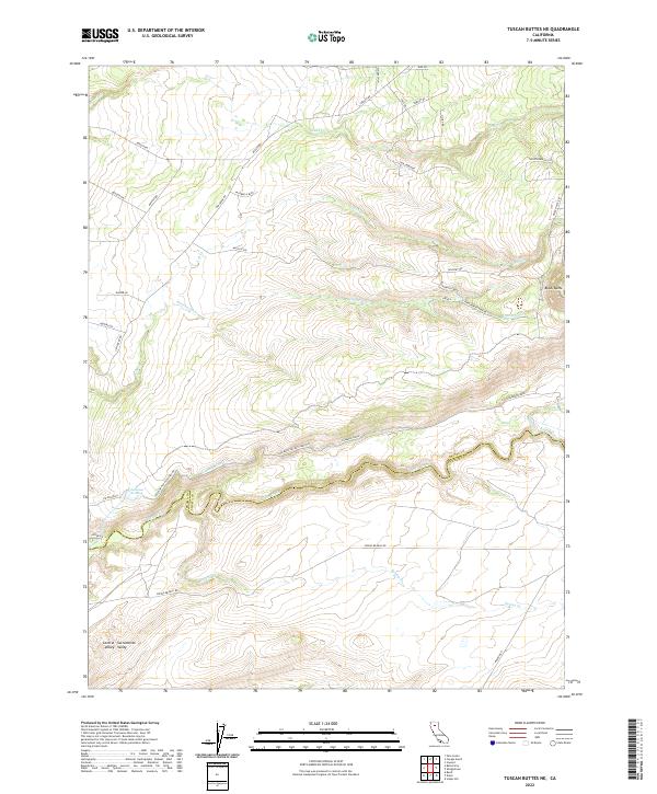
2022 Map of Tuscan Buttes NE
USGS Topo · Published 2022About this map
Battle Creek flows along the border of Shasta and Tehama counties, serving as a primary water source for this transition between the foothills and the northern edge of the Sacramento Valley. The landscape is heavily defined by its aquatic infrastructure, notably the Coleman Fish Hatchery and the Coleman Forebay. These facilities are supported by an intricate network of waterways including the Coleman Canal, which moves water through the rugged volcanic terrain north of the creek. Rising above the drainage basins, Black Butte stands as a prominent volcanic landmark in the eastern portion of the map. The road network, including Dersch Rd and Manton Rd, provides access to rural homesteads and drainages like Lack Cr and Ash Cr, where seasonal water flow and irrigation have shaped the local ranching and agricultural patterns for generations.
Find a feature on this map
40 named features on this map. Tap any name to fly to it.
Don’t see what you’re looking for? This feature index may not catch every label — zoom into the map to look around manually.
Map Details
Editions of this 2022 Tuscan Buttes NE Map
This is the sole edition of this map. No revisions or reprints were ever made.
Other maps of this area

1886 · Lassen Peak
USGS Topo · 1:250,000

1890 · Red Bluff
USGS Topo · 1:250,000

1892 · Lassen Peak
USGS Topo · 1:250,000

1894 · Lassen Peak
USGS Topo · 1:250,000

1894 · Red Bluff
USGS Topo · 1:250,000

1901 · Redding
USGS Topo · 1:125,000

1935 · Burney
USGS Topo · 1:96,000

1935 · Paynes Creek
USGS Topo · 1:96,000

1939 · Burney
USGS Topo · 1:125,000

1941 · Mineral
USGS Topo · 1:125,000