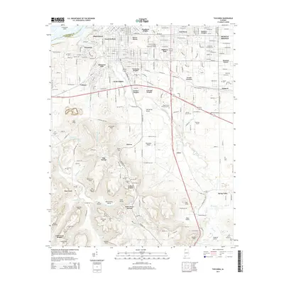
2014 Map of Tuscumbia
USGS Topo · Published 2014About this map
Tuscumbia and Sheffield anchor this northern Alabama landscape, which transitions from the urbanized riverfront of Pickwick Lake and the Tennessee River to the hollows of the south. The mapping reveals a dense network of residential subdivisions like Manor Haven, Trenholm Heights, and Jackson Heights that surround the central city hubs. To the south, the terrain rises into the highlands marked by Colbert Mtn and Poorhouse Mtn.
Find a feature on this map
90 named features on this map. Tap any name to fly to it.
Don’t see what you’re looking for? This feature index may not catch every label — zoom into the map to look around manually.
Map Details
Editions of this 2014 Tuscumbia Map
This is the sole edition of this map. No revisions or reprints were ever made.
Other maps of this area

1914 · Muscle Shoals
USGS Topo · 1:48,000

1916 · Muscle Shoals
USGS Topo · 1:62,500

1924 · Tuscumbia
USGS Topo · 1:48,000

1924 · Gravelly Springs
USGS Topo · 1:48,000

1925 · Barton
USGS Topo · 1:62,500

1926 · Tuscumbia
USGS Topo · 1:62,500

1926 · Barton
USGS Topo · 1:48,000

1926 · Gravelly Springs
USGS Topo · 1:62,500

1929 · Barton
USGS Topo · 1:62,500

1936 · Russellville
USGS Topo · 1:24,000