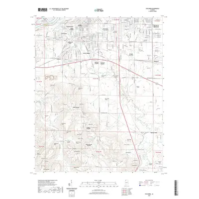
2020 Map of Tuscumbia
USGS Topo · Published 2020About this map
Tuscumbia and its neighboring river cities are documented here at a time of significant 21st-century residential and institutional expansion. The map details the central civic landscape of the county seat, anchored by the Colbert County Courthouse, alongside industrial and transportation corridors like the Tuscumbia Decatur Hwy. The presence of Northwest-Shoals Community College Shoals Campus and numerous planned neighborhoods like Village Number 1 and Belview Heights indicates the area's role as a regional educational and residential hub.
Find a feature on this map
159 named features on this map. Tap any name to fly to it.
Don’t see what you’re looking for? This feature index may not catch every label — zoom into the map to look around manually.
Map Details
Editions of this 2020 Tuscumbia Map
This is the sole edition of this map. No revisions or reprints were ever made.
Other maps of this area

1914 · Muscle Shoals
USGS Topo · 1:48,000

1916 · Muscle Shoals
USGS Topo · 1:62,500

1924 · Tuscumbia
USGS Topo · 1:48,000

1924 · Gravelly Springs
USGS Topo · 1:48,000

1925 · Barton
USGS Topo · 1:62,500

1926 · Tuscumbia
USGS Topo · 1:62,500

1926 · Barton
USGS Topo · 1:48,000

1926 · Gravelly Springs
USGS Topo · 1:62,500

1929 · Barton
USGS Topo · 1:62,500

1936 · Russellville
USGS Topo · 1:24,000