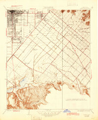
1935 Map of Tustin
USGS Topo · Published 1945About this map
The citrus groves and ranching estates of Orange County are documented here in detail, showing a landscape defined by the expansive Irvine Ranch Headquarters and the early growth of Tustin. Long before the postwar suburban boom, the region was an agricultural heartland organized around the Atchison Topeka and Santa Fe Railroad and the Southern Pacific Railroad. The map captures the small-town character of Santa Ana and the rural post office at Delhi (Gloryetta PO), alongside industrial and recreational markers like Martins Landing Field and numerous private sporting locations including the San Joaquin Gun Club. From the developed streets of Tustin Union High School to the dry watercourses of Peters Canyon Wash, the layout reveals the transition from the rugged San Joaquin Hills to the fertile coastal plain.
Find a feature on this map
43 named features on this map. Tap any name to fly to it.
Don’t see what you’re looking for? This feature index may not catch every label — zoom into the map to look around manually.
Map Details
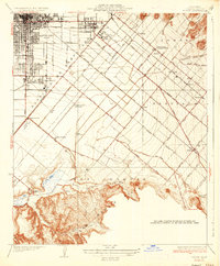
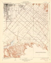
Editions of this 1935 Tustin Map
3 editions found
Other maps of this area

1896 · Santa Ana
USGS Topo · 1:62,500

1896 · Anaheim
USGS Topo · 1:62,500

1898 · Anaheim
USGS Topo · 1:62,500

1901 · Southern California Sheet No. 1
USGS Topo · 1:250,000

1901 · Santa Ana
USGS Topo · 1:62,500

1901 · Anaheim
USGS Topo · 1:62,500

1902 · Corona
USGS Topo · 1:125,000

1904 · Southern California Sheet No. 1
USGS Topo · 1:250,000

1932 · Orange
USGS Topo · 1:31,680

1932 · Newport Beach
USGS Topo · 1:31,680