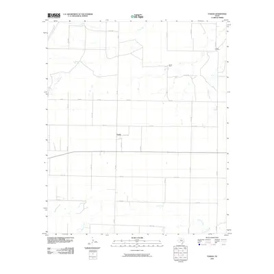
2010 Map of Tuxedo
USGS Topo · Published 2010About this map
Tuxedo and its surrounding agricultural lands in Jones County are defined by a strict grid of county roads that crisscross the prairie landscape. The area is drained by a network of seasonal waterways, including the winding Paint Creek and California Creek, which converge with smaller tributaries like Skinout Creek and Thompson Creek. This 2010 survey illustrates the enduring rural character of the region, where family legacies are preserved at the Capron Cemetery near the northeastern boundary. The landscape is dotted with livestock operations and homesteads, such as Flat Top Ranch, connected by a web of routes like FM 1661 and FM 2834. The map provides a precise view of the rural infrastructure, from private access points like PVT RD 189 to the primary farm-to-market arteries that sustain the local economy.
Find a feature on this map
31 named features on this map. Tap any name to fly to it.
Don’t see what you’re looking for? This feature index may not catch every label — zoom into the map to look around manually.
Map Details
Editions of this 2010 Tuxedo Map
This is the sole edition of this map. No revisions or reprints were ever made.
Other maps of this area

1891 · Anson
USGS Topo · 1:125,000

1893 · Roby
USGS Topo · 1:125,000

1893 · Anson
USGS Topo · 1:125,000

1931 · Aspermont
USGS Topo · 1:62,500

1954 · Lubbock
USGS Topo · 1:250,000

1954 · Big Spring
USGS Topo · 1:250,000

1954 · Abilene
USGS Topo · 1:250,000

1954 · Wichita Falls
USGS Topo · 1:250,000

1958 · Big Spring
USGS Topo · 1:250,000

1958 · Wichita Falls
USGS Topo · 1:250,000