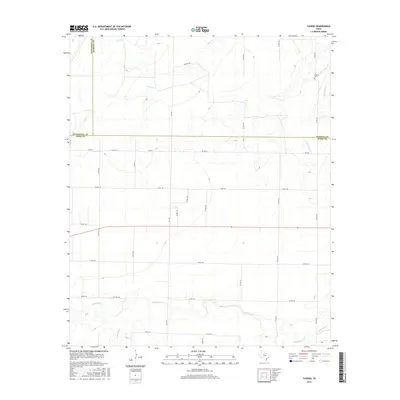
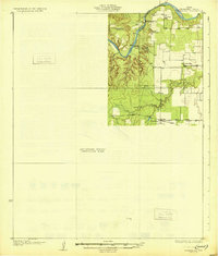
2016 Map of Tuxedo
USGS Topo · Published 2016About this map
California Cr and its southern tributaries, Skinout Cr and Thompson Cr, carve a complex drainage pattern across this rural West Texas landscape. Located at the intersection of Jones, Haskell, and Stonewall Counties, the area is defined by its vast agricultural grid and seasonal watercourses. Near the northeastern corner, the Capron Cem serves as a small but significant genealogical landmark, situated just east of the winding Red Paint Cr.
Find a feature on this map
34 named features on this map. Tap any name to fly to it.
Don’t see what you’re looking for? This feature index may not catch every label — zoom into the map to look around manually.
Map Details
Editions of this 2016 Tuxedo Map
This is the sole edition of this map. No revisions or reprints were ever made.
Other maps of this area
1891 · Anson
USGS Topo · 1:125,000
1893 · Roby
USGS Topo · 1:125,000
1893 · Anson
USGS Topo · 1:125,000
1931 · Aspermont
USGS Topo · 1:62,500

1954 · Lubbock
USGS Topo · 1:250,000

1954 · Big Spring
USGS Topo · 1:250,000

1954 · Abilene
USGS Topo · 1:250,000

1954 · Wichita Falls
USGS Topo · 1:250,000

1958 · Big Spring
USGS Topo · 1:250,000

1958 · Wichita Falls
USGS Topo · 1:250,000