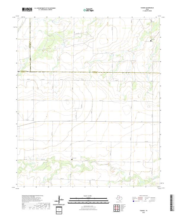
2022 Map of Tuxedo
USGS Topo · Published 2022About this map
California Creek and Skinout Creek wind through this rural landscape along the borders of Haskell and Jones counties. This part of West Texas is defined by its drainage systems and a grid of rural county roads that connect remote homesteads and agricultural tracts. Evidence of early settlement and local family heritage is preserved at Fairview Cemetery near County Road 146 and Capron Cemetery in the northeastern reaches of the map. The topography is shaped by the intermittent flows of Paint Creek and its tributary Red Paint Creek, carving subtle draws into the terrain. This survey provides a precise layout of the county road network, such as County Road 126 and FM 1661, illustrating the enduring spatial organization of this ranching and farming region.
Find a feature on this map
35 named features on this map. Tap any name to fly to it.
Don’t see what you’re looking for? This feature index may not catch every label — zoom into the map to look around manually.
Map Details
Editions of this 2022 Tuxedo Map
This is the sole edition of this map. No revisions or reprints were ever made.
Other maps of this area

1891 · Anson
USGS Topo · 1:125,000

1893 · Roby
USGS Topo · 1:125,000

1893 · Anson
USGS Topo · 1:125,000

1931 · Aspermont
USGS Topo · 1:62,500

1954 · Lubbock
USGS Topo · 1:250,000

1954 · Big Spring
USGS Topo · 1:250,000

1954 · Abilene
USGS Topo · 1:250,000

1954 · Wichita Falls
USGS Topo · 1:250,000

1958 · Big Spring
USGS Topo · 1:250,000

1958 · Wichita Falls
USGS Topo · 1:250,000