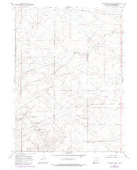
1968 Map of Twelvemile Knoll
USGS Topo · Published 1980About this map
The high-desert landscape of Sweetwater County is marked by a deep historical legacy of westward migration, clearly visible on this 1968 survey. The Emigrant Trail traverses the northern section of the map, specifically showing the Sublette Cutoff, a vital route used by pioneers to bypass the Green River crossing and shave distance off the Oregon and California Trails. This historic path runs parallel to the modern Lincoln Sweetwater Road, illustrating the persistence of transportation corridors through this arid terrain.
Find a feature on this map
12 named features on this map. Tap any name to fly to it.
Don’t see what you’re looking for? This feature index may not catch every label — zoom into the map to look around manually.
Map Details
Editions of this 1968 Twelvemile Knoll Map
2 editions found
Other maps of this area

1955 · Lander
USGS Topo · 1:250,000

1958 · Lander
USGS Topo · 1:250,000

1961 · Lander
USGS Topo · 1:250,000
1968 · Twelvemile Sink
USGS Topo · 1:24,000

1968 · Twelvemile Knoll
USGS Topo · 1:24,000
1968 · Monument Butte NE
USGS Topo · 1:24,000
1968 · Simpson Gulch SE
USGS Topo · 1:24,000
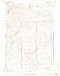
1968 · Simpson Gulch SW
USGS Topo · 1:24,000
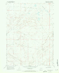
1968 · Fourmile Knoll
USGS Topo · 1:24,000
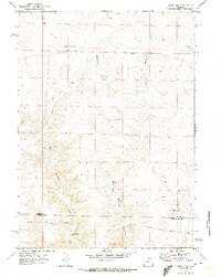
1969 · Sugar Loaf
USGS Topo · 1:24,000