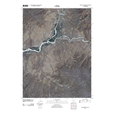
2010 Map of Twelvemile Mesa
USGS Topo · Published 2010About this map
The Little Snake River joins the Yampa River in this arid landscape of Moffat County, where high desert plateaus and deep drainage systems define the geography. The map captures a high-plateau cattle-ranching culture, where named sites like Rinker Ranch, White Bear Ranch, and Carlson Ranch are established near the life-giving water of the river bottoms. Much of the northern terrain falls within the boundaries of Dinosaur National Monument, protecting the stark geological features that rise from the valley floor. To the east, the prominent uplift of Cross Mountain looms over Twelvemile Gulch, while the expansive Twelvemile Mesa dominates the southern reaches of the quadrangle. The sparse road network, including County Rd 153 and County Hwy 123, follows the natural contours of the land, connecting isolated homesteads like Weaver Ranch across a network of dry washes and canyons.
Find a feature on this map
22 named features on this map. Tap any name to fly to it.
Don’t see what you’re looking for? This feature index may not catch every label — zoom into the map to look around manually.
Map Details
Editions of this 2010 Twelvemile Mesa Map
This is the sole edition of this map. No revisions or reprints were ever made.
Other maps of this area
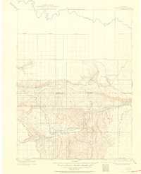
1907 · Rangely
USGS Topo · 1:125,000
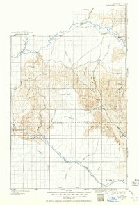
1907 · White River
USGS Topo · 1:125,000
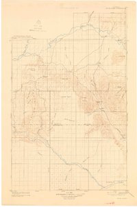
1910 · White River
USGS Topo · 1:125,000
1910 · Rangely
USGS Topo · 1:125,000

1954 · Vernal
USGS Topo · 1:250,000

1958 · Vernal
USGS Topo · 1:250,000

1960 · Vernal
USGS Topo · 1:250,000
1960 · Elk Springs
USGS Topo · 1:62,500
1960 · Lone Mountain
USGS Topo · 1:62,500
1962 · M F Mountain
USGS Topo · 1:24,000