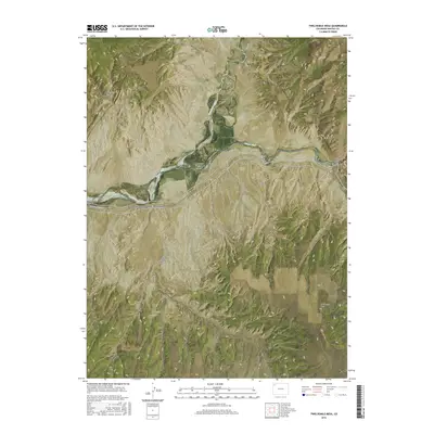
2016 Map of Twelvemile Mesa
USGS Topo · Published 2016About this map
Dinosaur National Monument defines the southern portion of this landscape, where the Yampa River carves a deep path through the canyonlands of Moffat County. The confluence with the Little Snake River occurs near Lily Park, a central point in a region characterized by dramatic topographical shifts from river bottoms to high elevations like Twelvemile Mesa. The map illustrates a network of drainage systems including Cross Mountain Canyon, Twelve Mile Gulch, and Buffalo Gulch, which have shaped the local geology over millennia. This 2016 survey captures the transition between protected federal lands and the surrounding open territory, marked by remote access routes such as Dinosaur Park Svc Rd and several county roads. The intricate contour lines reveal the complex erosional patterns of the Sawmill Canyon and Calico Draw, providing a clear record of the high-desert terrain.
Find a feature on this map
22 named features on this map. Tap any name to fly to it.
Don’t see what you’re looking for? This feature index may not catch every label — zoom into the map to look around manually.
Map Details
Editions of this 2016 Twelvemile Mesa Map
This is the sole edition of this map. No revisions or reprints were ever made.
Other maps of this area
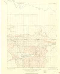
1907 · Rangely
USGS Topo · 1:125,000
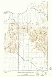
1907 · White River
USGS Topo · 1:125,000
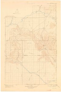
1910 · White River
USGS Topo · 1:125,000
1910 · Rangely
USGS Topo · 1:125,000

1954 · Vernal
USGS Topo · 1:250,000

1958 · Vernal
USGS Topo · 1:250,000

1960 · Vernal
USGS Topo · 1:250,000
1960 · Elk Springs
USGS Topo · 1:62,500
1960 · Lone Mountain
USGS Topo · 1:62,500
1962 · M F Mountain
USGS Topo · 1:24,000