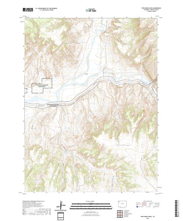
2022 Map of Twelvemile Mesa
USGS Topo · Published 2022About this map
The confluence of the Little Snake River and the Yampa River serves as the central focal point of this Moffat County landscape. At Lily Park, these two significant waterways meet before the Yampa winds westward into the protected canyons of Dinosaur National Monument. The terrain is defined by dramatic elevation shifts, moving from the river valley floors up to the expansive plateau of Twelvemile Mesa and the prominent heights of Cross Mtn.
Find a feature on this map
21 named features on this map. Tap any name to fly to it.
Don’t see what you’re looking for? This feature index may not catch every label — zoom into the map to look around manually.
Map Details
Editions of this 2022 Twelvemile Mesa Map
This is the sole edition of this map. No revisions or reprints were ever made.
Other maps of this area

1907 · Rangely
USGS Topo · 1:125,000

1907 · White River
USGS Topo · 1:125,000

1910 · White River
USGS Topo · 1:125,000

1910 · Rangely
USGS Topo · 1:125,000

1954 · Vernal
USGS Topo · 1:250,000

1958 · Vernal
USGS Topo · 1:250,000

1960 · Vernal
USGS Topo · 1:250,000

1960 · Elk Springs
USGS Topo · 1:62,500

1960 · Lone Mountain
USGS Topo · 1:62,500
1962 · M F Mountain
USGS Topo · 1:24,000