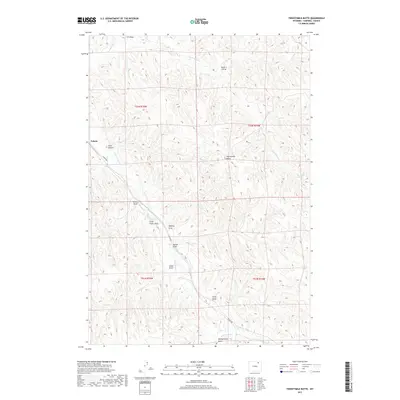
2017 Map of Twentymile Butte
USGS Topo · Published 2017About this map
Echeta anchors the northwestern corner of this landscape, where the railroad meets the junction of Echeta Rd and the drainage of Wild Horse Cr. The terrain is defined by an intricate network of ephemeral watercourses and draws that carve through the high plains of Campbell County. Notable landmarks include the prominent Twentymile Butte and the steep contours of Snell Canyon. The map reveals a legacy of water management and cattle ranching through features like Twentymile Spring and numerous named draws such as Montgomery Draw, Felix Draw, and Barker Draw. These features suggest a working landscape where subtle topographic changes and seasonal water sources dictate movement and land use. The presence of Twentymile Cr and its tributaries like Rough Cr illustrates the complex drainage patterns that shape this portion of the Powder River Basin.
Find a feature on this map
22 named features on this map. Tap any name to fly to it.
Don’t see what you’re looking for? This feature index may not catch every label — zoom into the map to look around manually.
Map Details
Editions of this 2017 Twentymile Butte Map
This is the sole edition of this map. No revisions or reprints were ever made.
Other maps of this area

1954 · Gillette
USGS Topo · 1:250,000

1955 · Gillette
USGS Topo · 1:250,000

1958 · Gillette
USGS Topo · 1:250,000

1962 · Gillette
USGS Topo · 1:250,000
1971 · Wildcat
USGS Topo · 1:24,000
1971 · Oriva NW
USGS Topo · 1:24,000
1971 · Oriva
USGS Topo · 1:24,000
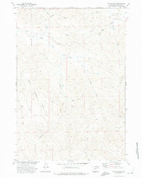
1971 · Truman Draw
USGS Topo · 1:24,000
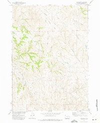
1972 · Carr Draw
USGS Topo · 1:24,000
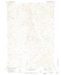
1972 · Jeffers Draw
USGS Topo · 1:24,000