
2013 Map of Twentymile Creek
USGS Topo · Published 2013About this map
Paradise Valley sits in the northwestern corner of this territory, where local travel routes like Lookout View Rd and Paradise Valley Rd connect small rural holdings. The landscape is dominated by the high elevations of the Kanisku National Forest, marked by significant summits including Twentymile Peak, Black Mtn, and Bald Eagle Mtn.
Find a feature on this map
43 named features on this map. Tap any name to fly to it.
Don’t see what you’re looking for? This feature index may not catch every label — zoom into the map to look around manually.
Map Details
Editions of this 2013 Twentymile Creek Map
This is the sole edition of this map. No revisions or reprints were ever made.
Other maps of this area
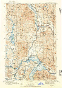
1911 · Priest Lake
USGS Topo · 1:250,000
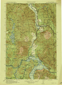
1913 · Priest Lake
USGS Topo · 1:250,000
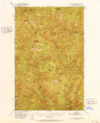
1951 · Mt Pend Oreille
USGS Topo · 1:62,500
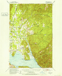
1951 · Elmira
USGS Topo · 1:62,500

1958 · Sandpoint
USGS Topo · 1:250,000

1963 · Sandpoint
USGS Topo · 1:250,000
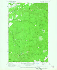
1965 · Twentymile Creek
USGS Topo · 1:24,000
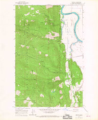
1965 · Moravia
USGS Topo · 1:24,000
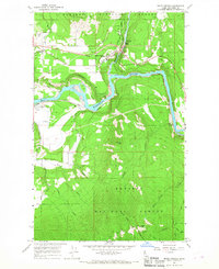
1965 · Moyie Springs
USGS Topo · 1:24,000
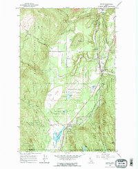
1965 · Naples
USGS Topo · 1:24,000