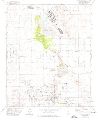
1973 Map of Twentynine Palms
USGS Topo · Published 1975About this map
Twentynine Palms and its surrounding desert neighborhoods appear here in the early 1970s, showcasing a landscape transitioning from remote ranching and mining roots to a permanent military and residential community. The presence of the Twentynine Palms Marine Corps Base to the north anchors the area, while the town center features established locales like The Plaza and Four Corners. Small settlements and named high points such as Harmony Acres, Noels Knoll, and Chocolate Drop dot the grid of developing roads.
Find a feature on this map
60 named features on this map. Tap any name to fly to it.
Don’t see what you’re looking for? This feature index may not catch every label — zoom into the map to look around manually.
Map Details
Editions of this 1973 Twentynine Palms Map
2 editions found
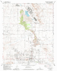
Other maps of this area

1942 · Amboy
USGS Topo · 1:250,000

1943 · Amboy
USGS Topo · 1:250,000

1953 · San Bernardino
USGS Topo · 1:250,000

1954 · Needles
USGS Topo · 1:250,000

1954 · Valley Mtn
USGS Topo · 1:24,000

1955 · Deadman Lake SE
USGS Topo · 1:24,000

1955 · Deadman Lake SW
USGS Topo · 1:24,000

1955 · Lead Mountain SW
USGS Topo · 1:24,000

1955 · Twentynine Palms
USGS Topo · 1:24,000

1955 · Twentynine Palms
USGS Topo · 1:62,500
Featured Places
- Twentynine Palms, CA
- Smoke Tree, Twentynine Palms
- Harmony Acres, Twentynine Palms
- San Bernardino County, CA
- United States