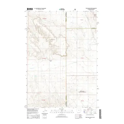
2015 Map of Twentyone Divide
USGS Topo · Published 2015About this map
Twentyone Divide serves as the dominant landform in this high-plains landscape where the Wyoming and South Dakota borders meet. This 2015 survey illuminates the transition from the protected timber of the Black Hills Nat For in the northeast down into the expansive open range of the Buffalo Gap National Grassland to the south. The arid geography is defined by drainage patterns like Twentyone Draw and the course of the Cheyenne River, which cuts across the lower half of the quadrangle. Sparse infrastructure, including Dewey Rd and Argentine Rd, suggests a remote ranching economy dependent on water features such as Williams Reservoir. This map is particularly valuable for documenting the modern intersection of Niobrara, Custer, and Fall River counties along the interstate line.
Find a feature on this map
23 named features on this map. Tap any name to fly to it.
Don’t see what you’re looking for? This feature index may not catch every label — zoom into the map to look around manually.
Map Details
Editions of this 2015 Twentyone Divide Map
This is the sole edition of this map. No revisions or reprints were ever made.
Other maps of this area

1896 · Harney Peak
USGS Topo · 1:125,000

1899 · Newcastle
USGS Topo · 1:125,000

1901 · Harney Peak
USGS Topo · 1:125,000

1901 · Newcastle
USGS Topo · 1:125,000

1902 · Edgemont
USGS Topo · 1:125,000

1950 · Edgemont SW
USGS Topo · 1:24,000

1950 · Burdock
USGS Topo · 1:24,000

1951 · Dewey
USGS Topo · 1:24,000

1951 · Dewey SW
USGS Topo · 1:24,000

1951 · Twentyone Divide
USGS Topo · 1:24,000