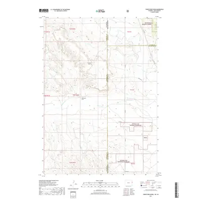
2017 Map of Twentyone Divide
USGS Topo · Published 2017About this map
Twentyone Divide serves as a prominent topographic spine along the border of Wyoming and South Dakota, where the High Plains meet the edges of the Black Hills. This high ground separates drainage basins feeding into Lone Tree Cr to the north and the meandering Cheyenne River to the south. The landscape is dominated by large-scale public land management, with significant portions of the eastern half dedicated to the Buffalo Gap National Grassland and a corner of the Black Hills National Forest. The map documents a sparse network of county infrastructure, including Argentine Rd and several rural routes like Co Hwy 9, which navigate the complex drainages of Pass Cr and Beaver Cr. The terrain is defined by the deep incisions of Twentyone Draw, illustrating the erosion patterns characteristic of this semi-arid ranching and grazing frontier.
Find a feature on this map
26 named features on this map. Tap any name to fly to it.
Don’t see what you’re looking for? This feature index may not catch every label — zoom into the map to look around manually.
Map Details
Editions of this 2017 Twentyone Divide Map
This is the sole edition of this map. No revisions or reprints were ever made.
Other maps of this area
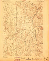
1896 · Harney Peak
USGS Topo · 1:125,000
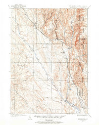
1899 · Newcastle
USGS Topo · 1:125,000
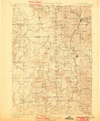
1901 · Harney Peak
USGS Topo · 1:125,000
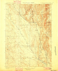
1901 · Newcastle
USGS Topo · 1:125,000
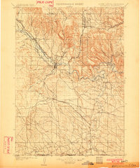
1902 · Edgemont
USGS Topo · 1:125,000
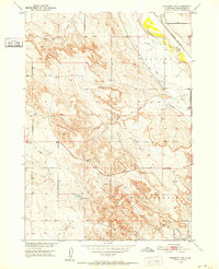
1950 · Edgemont SW
USGS Topo · 1:24,000
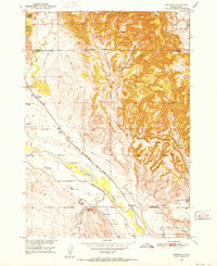
1950 · Burdock
USGS Topo · 1:24,000
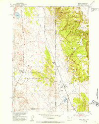
1951 · Dewey
USGS Topo · 1:24,000
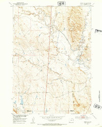
1951 · Dewey SW
USGS Topo · 1:24,000
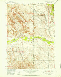
1951 · Twentyone Divide
USGS Topo · 1:24,000