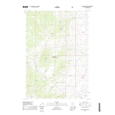
2020 Map of Twin Adams Mountain
USGS Topo · Published 2020About this map
Beaverhead National Forest defines the rugged high-elevation landscape of this southwestern Montana quadrangle. The map captures a topography shaped by deep drainages and prominent peaks, including Thunderhead Mtn and Twin Adams Mtn. A network of water features like Bond Lake and its outlet Bond Cr transition into the wider valleys drained by Willow Cr and Birch Cr.
Find a feature on this map
33 named features on this map. Tap any name to fly to it.
Don’t see what you’re looking for? This feature index may not catch every label — zoom into the map to look around manually.
Map Details
Editions of this 2020 Twin Adams Mountain Map
This is the sole edition of this map. No revisions or reprints were ever made.
Other maps of this area
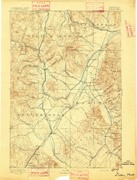
1893 · Dillon
USGS Topo · 1:250,000
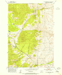
1952 · Twin Adams Mountain
USGS Topo · 1:24,000
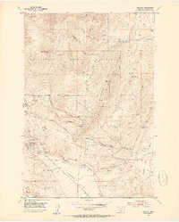
1952 · Argenta
USGS Topo · 1:24,000
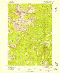
1952 · Torrey Mountain
USGS Topo · 1:24,000
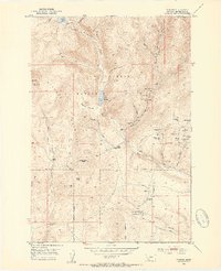
1952 · Ermont
USGS Topo · 1:24,000

1955 · Dillon
USGS Topo · 1:250,000

1957 · Dillon
USGS Topo · 1:250,000

1958 · Dillon
USGS Topo · 1:250,000
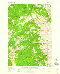
1958 · Vipond Park
USGS Topo · 1:62,500
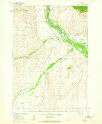
1960 · Glen
USGS Topo · 1:24,000