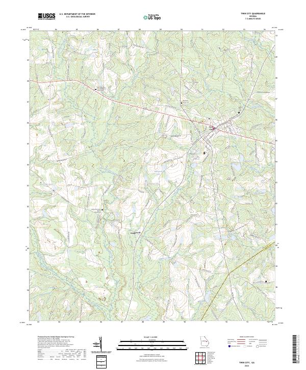
2024 Map of Twin City
USGS Topo · Published 2024About this map
Twin City and the nearby settlement of Durdenville anchor this Emanuel County landscape, which is defined by the intricate drainage of Little Canoochee Creek and Thick Creek. The area's spiritual and genealogical history is well-marked by several long-standing burial grounds, including the Old Canoochee Primitive Baptist Church Cem and the Antioch Primitive Baptist Church Cem.
Find a feature on this map
101 named features on this map. Tap any name to fly to it.
Don’t see what you’re looking for? This feature index may not catch every label — zoom into the map to look around manually.
Map Details
Editions of this 2024 Twin City Map
This is the sole edition of this map. No revisions or reprints were ever made.
Other maps of this area

1957 · Macon
USGS Topo · 1:250,000

1958 · Macon
USGS Topo · 1:250,000

1964 · Macon
USGS Topo · 1:250,000
1970 · Metter
USGS Topo · 1:24,000

1970 · Nunez
USGS Topo · 1:24,000

1971 · Stillmore
USGS Topo · 1:24,000

1971 · Swainsboro
USGS Topo · 1:24,000

1971 · Twin City
USGS Topo · 1:24,000
1971 · Twin City SE
USGS Topo · 1:24,000
1971 · Garfield
USGS Topo · 1:24,000