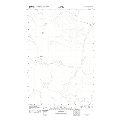
2011 Map of Twin Crags
USGS Topo · Published 2011About this map
Saint Joe Divide defines the southern portion of this landscape in the Idaho Panhandle, marking the rugged separation between drainage basins. High peaks dominate the terrain, including the eponymous Twin Crags, Mount Wiessner, and Latour Peak, where a steep alpine character is evident near the small basin of Mirror Lake. The area's history of natural resource extraction and surveillance is represented by the Palisade Mine and the Frost Peak Lookout high atop Frost Peak.
Find a feature on this map
31 named features on this map. Tap any name to fly to it.
Don’t see what you’re looking for? This feature index may not catch every label — zoom into the map to look around manually.
Map Details
Editions of this 2011 Twin Crags Map
This is the sole edition of this map. No revisions or reprints were ever made.
Other maps of this area

1909 · Cataldo
USGS Topo · 1:125,000

1911 · Cataldo
USGS Topo · 1:125,000

1950 · Rochat Peak
USGS Topo · 1:24,000

1950 · Twin Crags
USGS Topo · 1:24,000

1952 · Rochat Peak
USGS Topo · 1:24,000

1952 · Twin Crags
USGS Topo · 1:24,000

1955 · Spokane
USGS Topo · 1:250,000

1957 · Kingston
USGS Topo · 1:62,500

1957 · Kellogg
USGS Topo · 1:62,500

1957 · Calder
USGS Topo · 1:62,500