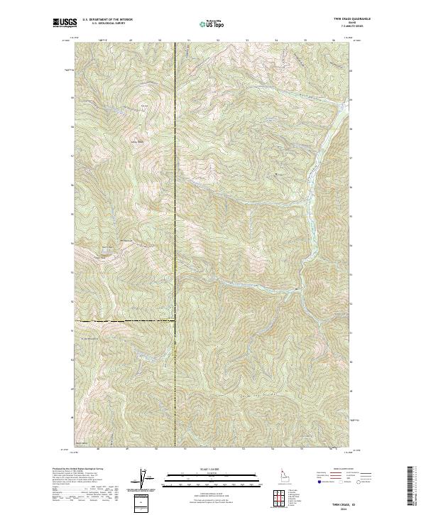
2024 Map of Twin Crags
USGS Topo · Published 2024About this map
St Joe Mountains and the Saint Joe Divide dominate this high-elevation landscape where Shoshone, Kootenai, and Benewah counties converge. The terrain is characterized by a series of prominent summits including Mt Wiessner, Latour Peak, and the namesake Twin Crags, which overlooks Mirror Lake. This modern survey illustrates a complex network of forest access routes such as the W Fork Pine Creek Rd and the Coeur d Alene NFD 2313 Rd, which trace the drainages of West Fork Pine Creek and Pine Creek. These roads reflect the long-standing importance of national forest management and resource access in northern Idaho. Local drainages like Ross Gulch and Jackass Creek carve through the steep topography, leading down from ridges like Latour Baldy and Frost Peak.
Find a feature on this map
43 named features on this map. Tap any name to fly to it.
Don’t see what you’re looking for? This feature index may not catch every label — zoom into the map to look around manually.
Map Details
Editions of this 2024 Twin Crags Map
This is the sole edition of this map. No revisions or reprints were ever made.
Other maps of this area

1909 · Cataldo
USGS Topo · 1:125,000

1911 · Cataldo
USGS Topo · 1:125,000

1950 · Rochat Peak
USGS Topo · 1:24,000

1950 · Twin Crags
USGS Topo · 1:24,000

1952 · Rochat Peak
USGS Topo · 1:24,000

1952 · Twin Crags
USGS Topo · 1:24,000

1955 · Spokane
USGS Topo · 1:250,000

1957 · Kingston
USGS Topo · 1:62,500

1957 · Kellogg
USGS Topo · 1:62,500

1957 · Calder
USGS Topo · 1:62,500