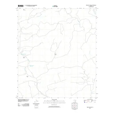
2010 Map of Twin Hollow
USGS Topo · Published 2010About this map
Twin Hollow and the surrounding drainage basins of Medina County are defined by a complex network of seasonal watercourses and topographic landmarks. The landscape is carved by Hondo Creek, which passes beneath the prominent Barnes Bluff and is fed by smaller tributaries such as Bandera Creek. The presence of Mustang Waterhole and Wide Crossing Waterhole suggests the historical importance of localized water sources in this arid stretch of the Texas Hill Country.
Find a feature on this map
22 named features on this map. Tap any name to fly to it.
Don’t see what you’re looking for? This feature index may not catch every label — zoom into the map to look around manually.
Map Details
Editions of this 2010 Twin Hollow Map
This is the sole edition of this map. No revisions or reprints were ever made.
Other maps of this area

1954 · San Antonio
USGS Topo · 1:250,000

1956 · Sabinal
USGS Topo · 1:62,500

1956 · New Fountain
USGS Topo · 1:62,500

1956 · Tarpley
USGS Topo · 1:62,500

1956 · Bandera
USGS Topo · 1:62,500

1957 · San Antonio
USGS Topo · 1:250,000

1964 · Bandera
USGS Topo · 1:24,000

1964 · Timber Creek
USGS Topo · 1:24,000
1964 · Tarpley
USGS Topo · 1:24,000
1964 · Tarpley Pass
USGS Topo · 1:24,000