
2014 Map of Twin Lakes
USGS Topo · Published 2014About this map
Colville Indian Reservation land defines much of this terrain in Ferry County, where the high ridges of the Kettle River Range meet the basin of the Twin Lakes. The settlement of Twin Lakes sits on the eastern shore, serving as a focal point for the area near where N Twin Lake and S Twin Lake nearly join. The topography is dominated by significant elevations such as Lynx Mtn and Bitterfoot Mtn to the north, while Oregon City Ridge and Carson Mtn frame the central valleys. This 2014 survey documents a landscape of managed forest and recreational access, notably the Rocky Point Campground on the northern lake. A network of drainages including Beaver Dam Cr, Granite Cr, and Lynx Cr shows the complex hydrology that feeds into these high-altitude water bodies.
Find a feature on this map
24 named features on this map. Tap any name to fly to it.
Don’t see what you’re looking for? This feature index may not catch every label — zoom into the map to look around manually.
Map Details
Editions of this 2014 Twin Lakes Map
This is the sole edition of this map. No revisions or reprints were ever made.
Other maps of this area
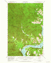
1948 · Wilmont Creek
USGS Topo · 1:62,500
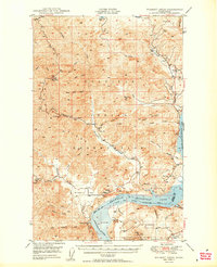
1950 · Wilmont Creek
USGS Topo · 1:62,500
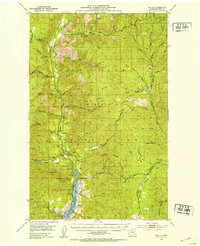
1952 · Keller
USGS Topo · 1:62,500
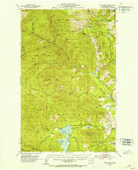
1952 · Twin Lakes
USGS Topo · 1:62,500
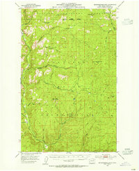
1953 · Seventeenmile Mtn.
USGS Topo · 1:62,500

1954 · Okanogan
USGS Topo · 1:250,000
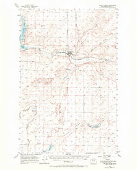
1956 · Wilmont Creek
USGS Topo · 1:62,500

1958 · Okanogan
USGS Topo · 1:250,000
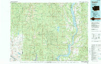
1984 · Nespelem
USGS Topo · 1:100,000
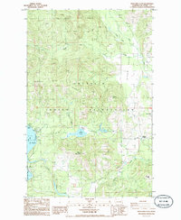
1985 · Moon Mountain
USGS Topo · 1:24,000