
2017 Map of Twin Lakes
USGS Topo · Published 2017About this map
N Twin Lake and S Twin Lake anchor the southeastern corner of this Ferry County landscape, where the settlement of Twin Lakes sits along the shoreline. The terrain rises sharply to the north and west, defined by prominent elevations including Lynx Mtn, Bitterfoot Mtn, and the distinctive Oregon City Ridge. This 2017 survey illustrates a network of mountain drainages such as Johns Mountain Cr and Lynx Cr that feed into the valley floor. The placement of Co HWY 2 and rural routes like Wyencoop Rd and Oregon City Ridge Rd reveals how modern transportation follows the natural contours of the mountain passes and creek beds. Local watercourses like Beaver Dam Cr and Granite Cr further detail the complex hydrology of this high-elevation region near the Sanpoil River watershed.
Find a feature on this map
20 named features on this map. Tap any name to fly to it.
Don’t see what you’re looking for? This feature index may not catch every label — zoom into the map to look around manually.
Map Details
Editions of this 2017 Twin Lakes Map
This is the sole edition of this map. No revisions or reprints were ever made.
Other maps of this area
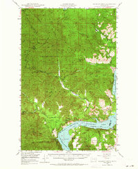
1948 · Wilmont Creek
USGS Topo · 1:62,500
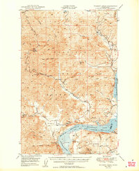
1950 · Wilmont Creek
USGS Topo · 1:62,500
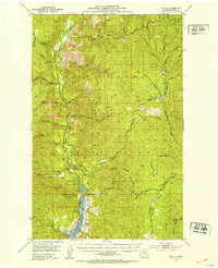
1952 · Keller
USGS Topo · 1:62,500
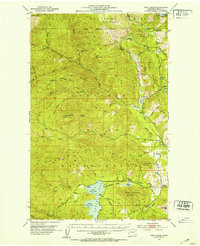
1952 · Twin Lakes
USGS Topo · 1:62,500
1953 · Seventeenmile Mtn.
USGS Topo · 1:62,500

1954 · Okanogan
USGS Topo · 1:250,000
1956 · Wilmont Creek
USGS Topo · 1:62,500

1958 · Okanogan
USGS Topo · 1:250,000
1984 · Nespelem
USGS Topo · 1:100,000
1985 · Moon Mountain
USGS Topo · 1:24,000