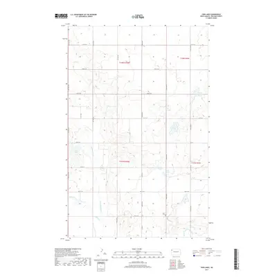
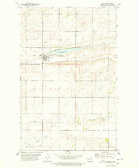
2017 Map of Twin Lakes
USGS Topo · Published 2017About this map
Little Muddy River defines the central drainage of this Williams County landscape, where the prairie is carved by a network of seasonal watercourses and namesake basins. The eponymous Twin Lakes sit in the western portion of the quadrangle, while several other prominent water bodies including Lone Tree Lake and Johnny Anderson Slough reflect the region's complex glacial topography. Cultural landmarks are sparse in this rural area, making the East Fork Cem near the E Fork Little Muddy River a primary site for genealogical research. The map documents the persistent township and range grid system, with many section lines reinforced by a network of rural roads such as Co HWY 10 and 74th ST NW that link the scattered farmsteads of the Missouri Plateau.
Find a feature on this map
21 named features on this map. Tap any name to fly to it.
Don’t see what you’re looking for? This feature index may not catch every label — zoom into the map to look around manually.
Map Details
Editions of this 2017 Twin Lakes Map
This is the sole edition of this map. No revisions or reprints were ever made.
Other maps of this area
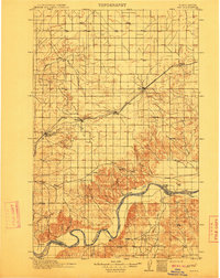
1911 · Ray
USGS Topo · 1:125,000
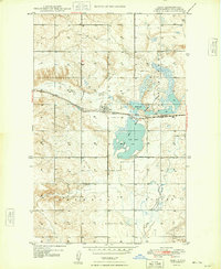
1948 · Zahl
USGS Topo · 1:24,000

1953 · Williston
USGS Topo · 1:250,000

1957 · Williston
USGS Topo · 1:250,000
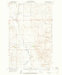
1959 · Marmon SE
USGS Topo · 1:24,000
1974 · Blacktail Lake
USGS Topo · 1:24,000
1974 · Otter Tail Creek
USGS Topo · 1:24,000
1974 · Twin Lakes
USGS Topo · 1:24,000
1977 · Appam
USGS Topo · 1:24,000
1977 · Alamo
USGS Topo · 1:24,000