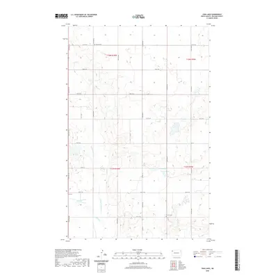
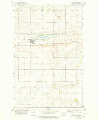
2020 Map of Twin Lakes
USGS Topo · Published 2020About this map
Little Muddy River winds through this section of Williams County, creating a riparian corridor defined by seasonal sloughs and wetlands. The landscape is marked by the presence of Erdahl Slough and Marple Slough, illustrating the natural drainage patterns of the high plains before they meet Blacktail Creek. This area maintains a strong connection to its early 20th-century settlement roots, as evidenced by several historic burial grounds located along the section lines and rural routes.
Find a feature on this map
23 named features on this map. Tap any name to fly to it.
Don’t see what you’re looking for? This feature index may not catch every label — zoom into the map to look around manually.
Map Details
Editions of this 2020 Twin Lakes Map
This is the sole edition of this map. No revisions or reprints were ever made.
Other maps of this area
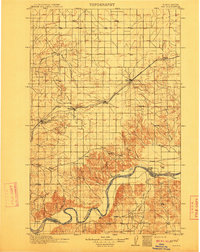
1911 · Ray
USGS Topo · 1:125,000
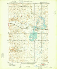
1948 · Zahl
USGS Topo · 1:24,000

1953 · Williston
USGS Topo · 1:250,000

1957 · Williston
USGS Topo · 1:250,000
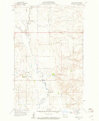
1959 · Marmon SE
USGS Topo · 1:24,000
1974 · Blacktail Lake
USGS Topo · 1:24,000
1974 · Otter Tail Creek
USGS Topo · 1:24,000
1974 · Twin Lakes
USGS Topo · 1:24,000
1977 · Appam
USGS Topo · 1:24,000
1977 · Alamo
USGS Topo · 1:24,000