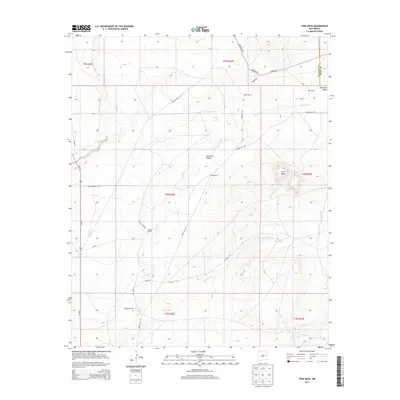
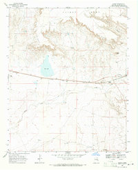
2013 Map of Twin Mesa
USGS Topo · Published 2013About this map
Gerhardt Valley forms the geographic heart of this eastern New Mexico quadrangle, where the land transition between De Baca and Quay counties is defined by intermittent drainages and isolated ranching operations. The terrain is anchored by the prominent Twin Mesa to the east, while the winding courses of Truchas Cr and Red Tank Cr suggest the vital importance of water management in this arid landscape. Scattered ranch holdings, including the Buckeye Ranch and Wright Ranch, reveal a settlement pattern tied to cattle and land use rather than centralized towns. A network of rural routes such as Gerhardt Rd and House Cap Rd connects these remote outposts, illustrating the enduring infrastructure of the High Plains cattle industry during the early 21st century.
Find a feature on this map
32 named features on this map. Tap any name to fly to it.
Don’t see what you’re looking for? This feature index may not catch every label — zoom into the map to look around manually.
Map Details
Editions of this 2013 Twin Mesa Map
This is the sole edition of this map. No revisions or reprints were ever made.
Other maps of this area

1954 · Fort Sumner
USGS Topo · 1:250,000

1958 · Fort Sumner
USGS Topo · 1:250,000
1965 · Fort Sumner West
USGS Topo · 1:24,000
1965 · Windmill Draw
USGS Topo · 1:24,000
1966 · Colorado Canyon
USGS Topo · 1:24,000
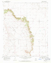
1968 · Hassell
USGS Topo · 1:24,000
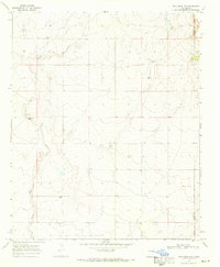
1968 · Twin Mesa NW
USGS Topo · 1:24,000
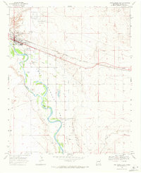
1968 · Fort Sumner East
USGS Topo · 1:24,000
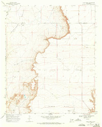
1968 · Candy Mesa
USGS Topo · 1:24,000
1968 · Taiban
USGS Topo · 1:24,000