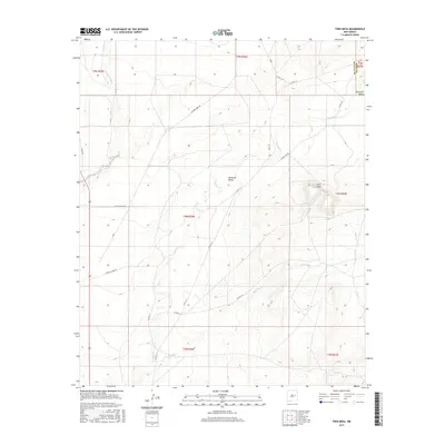
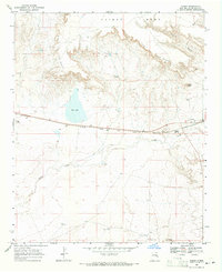
2017 Map of Twin Mesa
USGS Topo · Published 2017About this map
Gerhardt Valley sits at the heart of this landscape, a wide basin defined by the intermittent drainage of Truchas Cr and its tributaries. The terrain is structured by a network of ranching and access roads, including Jackson Draw Rd and Truchas Creek Rd, which traverse the open plains of De Baca and Quay counties. To the east, the prominent Twin Mesa rises above the surrounding flats, serving as a distinct navigational landmark near the confluence of local trails and the headwaters of Red Tank Cr. This 2017 U.S. Geological Survey representation documents the vast, sparsely settled ranch lands of eastern New Mexico, where the natural watercourses like Arroyo de Anil dictate the placement of local infrastructure and land divisions between the townships.
Find a feature on this map
26 named features on this map. Tap any name to fly to it.
Don’t see what you’re looking for? This feature index may not catch every label — zoom into the map to look around manually.
Map Details
Editions of this 2017 Twin Mesa Map
This is the sole edition of this map. No revisions or reprints were ever made.
Other maps of this area

1954 · Fort Sumner
USGS Topo · 1:250,000

1958 · Fort Sumner
USGS Topo · 1:250,000
1965 · Fort Sumner West
USGS Topo · 1:24,000
1965 · Windmill Draw
USGS Topo · 1:24,000
1966 · Colorado Canyon
USGS Topo · 1:24,000
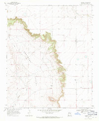
1968 · Hassell
USGS Topo · 1:24,000
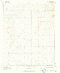
1968 · Twin Mesa NW
USGS Topo · 1:24,000
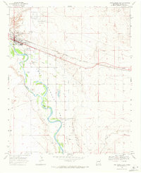
1968 · Fort Sumner East
USGS Topo · 1:24,000
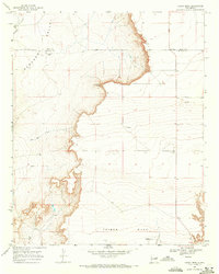
1968 · Candy Mesa
USGS Topo · 1:24,000
1968 · Taiban
USGS Topo · 1:24,000