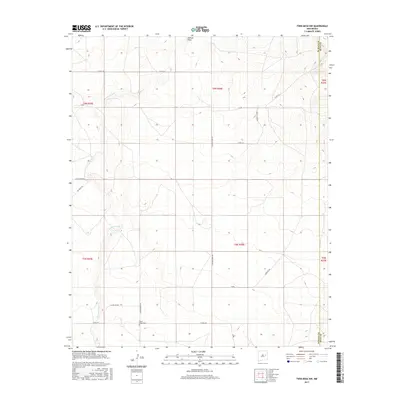
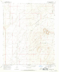
2017 Map of Twin Mesa NW
USGS Topo · Published 2017About this map
Arroyo de Anil winds through this high plains landscape of De Baca County, revealing a remote terrain defined by its watercourses and rural thoroughfares. The drainage of Jackson Draw cuts through the central portion of the map, illustrating the natural geography of the New Mexico eastern plains. Human presence is centered on the Locust Grove Cem, a significant marker for local genealogists and historians tracing early families in the region. The transport network consists of established routes like Locust Grove Rd and Alamo Red Rd, which navigate the rectangular sections of the Public Land Survey System. These roads, along with names like Bailey Camp Rd and Dancing Rd, suggest the long-standing ranching and agricultural heritage of the area, where water features and section lines dictated the patterns of movement and settlement.
Find a feature on this map
24 named features on this map. Tap any name to fly to it.
Don’t see what you’re looking for? This feature index may not catch every label — zoom into the map to look around manually.
Map Details
Editions of this 2017 Twin Mesa NW Map
This is the sole edition of this map. No revisions or reprints were ever made.
Other maps of this area

1954 · Fort Sumner
USGS Topo · 1:250,000

1958 · Fort Sumner
USGS Topo · 1:250,000
1964 · Canada Colorado
USGS Topo · 1:24,000
1965 · Windmill Draw
USGS Topo · 1:24,000
1966 · Colorado Canyon
USGS Topo · 1:24,000
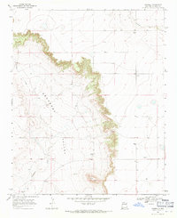
1968 · Hassell
USGS Topo · 1:24,000
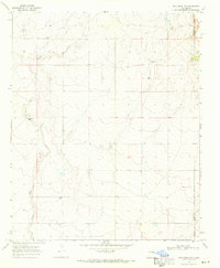
1968 · Twin Mesa NW
USGS Topo · 1:24,000
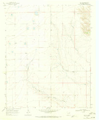
1968 · Ima SE
USGS Topo · 1:24,000
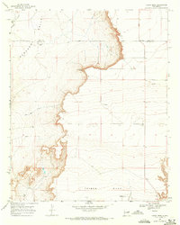
1968 · Candy Mesa
USGS Topo · 1:24,000
1968 · Twin Mesa
USGS Topo · 1:24,000