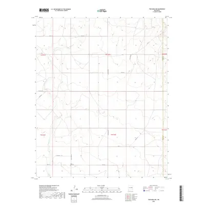
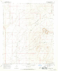
2020 Map of Twin Mesa NW
USGS Topo · Published 2020About this map
Locust Grove Cem serves as a small but significant historical marker in this arid ranching landscape of the High Plains. Located at the intersection of Locust Grove Rd and Co RD 3-24, the cemetery sits on the boundary between the Pecos River valley and the rising mesas to the east. The terrain is defined by the winding course of the Arroyo de Anil, which cuts through the western sections, and the prominent Jackson Draw Rd that bisects the territory from north to south. This area, spanning the border of De Baca and Quay counties, reflects a late 20th-century rural infrastructure dominated by a grid of county roads such as Alamo Red Rd and Dancing Rd. The naming conventions for these routes, including Big Drum Rd and Little Drum Rd, suggest local landmarks or geographic features significant to the local ranching community.
Find a feature on this map
23 named features on this map. Tap any name to fly to it.
Don’t see what you’re looking for? This feature index may not catch every label — zoom into the map to look around manually.
Map Details
Editions of this 2020 Twin Mesa NW Map
This is the sole edition of this map. No revisions or reprints were ever made.
Other maps of this area

1954 · Fort Sumner
USGS Topo · 1:250,000

1958 · Fort Sumner
USGS Topo · 1:250,000
1964 · Canada Colorado
USGS Topo · 1:24,000
1965 · Windmill Draw
USGS Topo · 1:24,000
1966 · Colorado Canyon
USGS Topo · 1:24,000
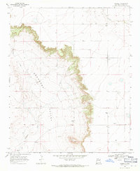
1968 · Hassell
USGS Topo · 1:24,000
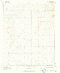
1968 · Twin Mesa NW
USGS Topo · 1:24,000
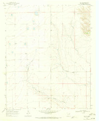
1968 · Ima SE
USGS Topo · 1:24,000
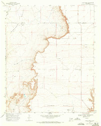
1968 · Candy Mesa
USGS Topo · 1:24,000
1968 · Twin Mesa
USGS Topo · 1:24,000