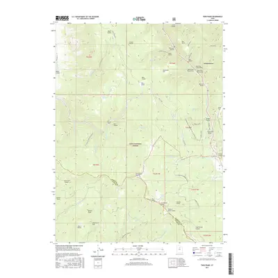
2017 Map of Twin Peaks
USGS Topo · Published 2017About this map
Independence sits at the northeastern edge of this mountain terrain, where the slopes of the Wasatch Range meet the vast reaches of the Uinta National Forest. This 2017 study illustrates a landscape defined by high peaks and deeply cut drainages, including Strawberry Peak and the namesake Twin Peaks. The complex network of water features, such as Harris Reservoir and the Clyde Cr/Strawberry River, highlights the area's role in the region's hydrography. Recreation and passage are central to the map's details, with the Forman Trail and the Daniels Summit crossing through the timbered heights. From the Highline Canal in the northwest to the family-named landmarks like McGuire Hollow and Pete Canyon, the map provides a look at the modern balance between protected wilderness and the rural community on the forest's fringe.
Find a feature on this map
70 named features on this map. Tap any name to fly to it.
Don’t see what you’re looking for? This feature index may not catch every label — zoom into the map to look around manually.
Map Details
Editions of this 2017 Twin Peaks Map
This is the sole edition of this map. No revisions or reprints were ever made.
Other maps of this area
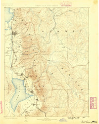
1885 · Salt Lake
USGS Topo · 1:250,000
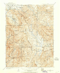
1907 · Strawberry Valley
USGS Topo · 1:125,000
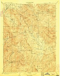
1909 · Strawberry Valley
USGS Topo · 1:125,000
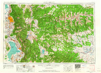
1954 · Salt Lake City
USGS Topo · 1:250,000
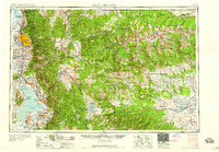
1958 · Salt Lake City
USGS Topo · 1:250,000
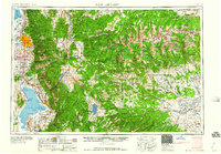
1960 · Salt Lake City
USGS Topo · 1:250,000
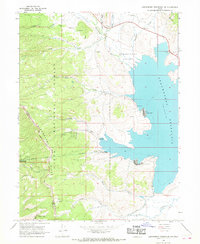
1966 · Strawberry Reservoir NW
USGS Topo · 1:24,000
1966 · Charleston
USGS Topo · 1:24,000
1967 · Two Tom Hill
USGS Topo · 1:24,000
1967 · Granger Mtn
USGS Topo · 1:24,000