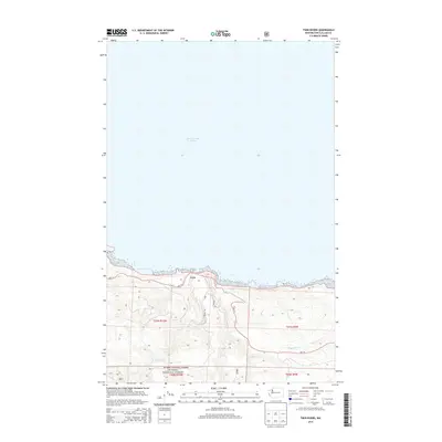
2014 Map of Twin Rivers
USGS Topo · Published 2014About this map
The coastal settlement of Twin sits where the rugged timberlands of the North Olympic Peninsula meet the Strait of Juan de Fuca. This 2014 survey documents a landscape defined by the convergence of the W Twin River and E Twin River, which carve deep drainage basins through the coastal slopes. The southern portion of the map is dominated by the Olympic National Forest, where a network of forest service routes like Nfd 30 Rd and the Rangea Trl navigate the elevation gain from the shoreline. Along the coast, Wa-112 serves as the primary artery, connecting the scattered drainage outlets of Sadie Cr and Murdock Cr to the small harbor at Twin. The map provides a clear record of modern public land boundaries and forest management corridors in Clallam County.
Find a feature on this map
14 named features on this map. Tap any name to fly to it.
Don’t see what you’re looking for? This feature index may not catch every label — zoom into the map to look around manually.
Map Details
Editions of this 2014 Twin Rivers Map
This is the sole edition of this map. No revisions or reprints were ever made.
Other maps of this area
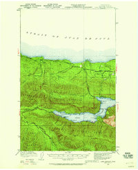
1918 · Lake Crescent
USGS Topo · 1:62,500
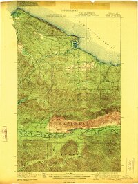
1922 · Pysht
USGS Topo · 1:62,500
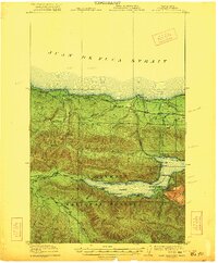
1922 · Lake Crescent
USGS Topo · 1:62,500
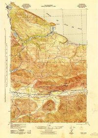
1942 · Pysht
USGS Topo · 1:62,500
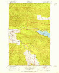
1950 · Mount Muller
USGS Topo · 1:24,000
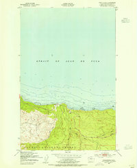
1950 · Twin Rivers
USGS Topo · 1:24,000
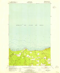
1950 · Disque
USGS Topo · 1:24,000
1950 · Lake Crescent
USGS Topo · 1:24,000
1950 · Lake Crescent
USGS Topo · 1:62,500
1953 · Cape Flattery
USGS Topo · 1:250,000