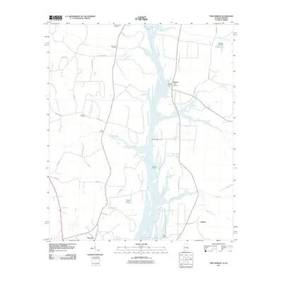
2011 Map of Twin Springs
USGS Topo · Published 2011About this map
Walter F George Reservoir and the Chattahoochee River dominate the landscape of this border region between Alabama and Georgia. The waterway is punctuated by several access points, including Lower Bradleys Landing, Thompson Landing, and Rankin Landing, reflecting the area's ongoing connection to the river. Small settlements such as Twin Springs, Florence, Coffinton, and Wylaunee are scattered across the terrain, connected by a network of rural routes like Taylor Rd and Bowden Rd. For those researching local family histories, several burial grounds are documented, such as Wesley Chapel Cemetery, McClendon Cemetery, and Old Zion Hill Cemetery. The landscape is further defined by numerous water features including Little Barbour Creek, Wylaunee Creek, and Smiths Pond, which feed into the primary river system.
Find a feature on this map
44 named features on this map. Tap any name to fly to it.
Don’t see what you’re looking for? This feature index may not catch every label — zoom into the map to look around manually.
Map Details
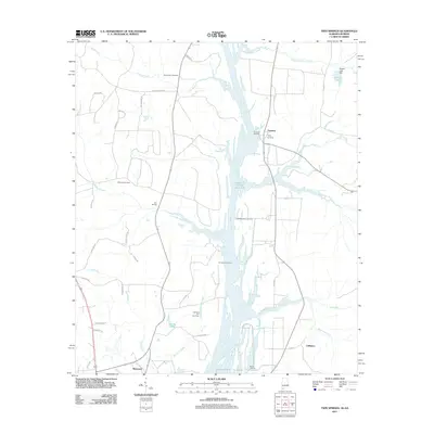
Editions of this 2011 Twin Springs Map
2 editions found
Other maps of this area

1949 · Julia
USGS Topo · 1:24,000

1950 · Lumpkin SW
USGS Topo · 1:24,000

1950 · Lumpkin
USGS Topo · 1:62,500

1953 · Dothan
USGS Topo · 1:250,000

1954 · Dothan
USGS Topo · 1:250,000

1955 · Dothan
USGS Topo · 1:250,000

1955 · Lumpkin SW
USGS Topo · 1:24,000
1955 · Union
USGS Topo · 1:24,000

1955 · Lumpkin
USGS Topo · 1:62,500

1955 · Phenix City
USGS Topo · 1:250,000