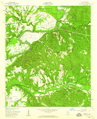
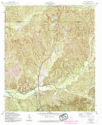
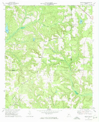
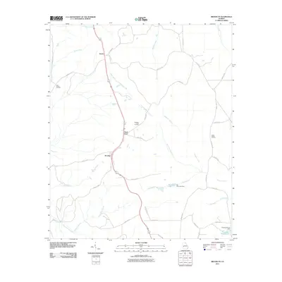
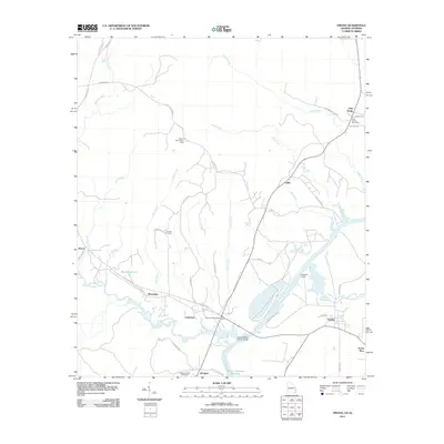
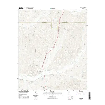
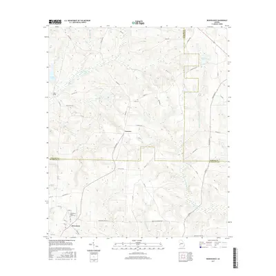
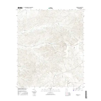
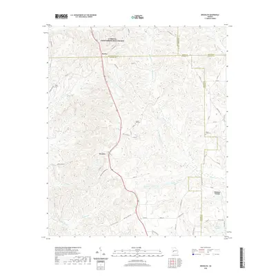
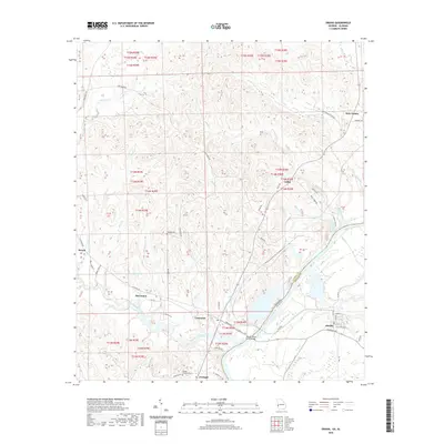
1955 Map of Union
USGS Topo · Published 1959About this map
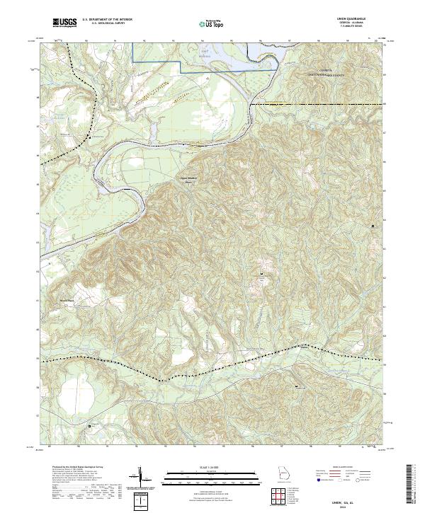
The Chattahoochee River carves a winding path along the western edge of this 1950s Georgia landscape, marking the border between Stewart and Russell counties. This period of the mid-twentieth century shows a rural community defined by family homesteads and local institutions, with the Seaboard Air Line Railroad cutting through the southern half of the quadrangle. Significant acreage in the north is dedicated to the Fort Benning Military Reservation, while the remaining land is dotted with small-scale agricultural landmarks such as Marvins Store and Heard Place.
Find a feature on this map
32 named features on this map. Tap any name to fly to it.
Don’t see what you’re looking for? This feature index may not catch every label — zoom into the map to look around manually.
Map Details
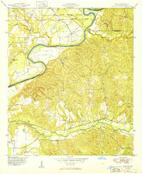
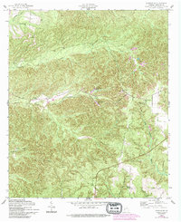
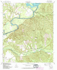
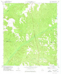
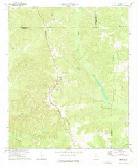
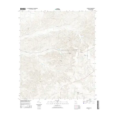
Editions of this 1955 Union Map
2 editions found
Historical Maps of Union Through Time
45 maps found
1949 Julia
Stewart County, GA
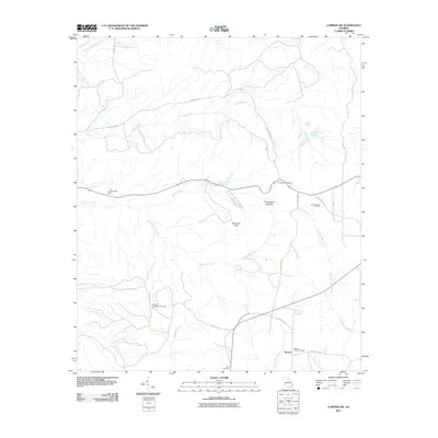
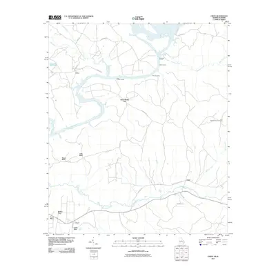
1950 Louvale
Stewart County, GA
1950 Lumpkin SW
Stewart County, GA
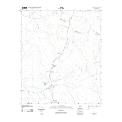
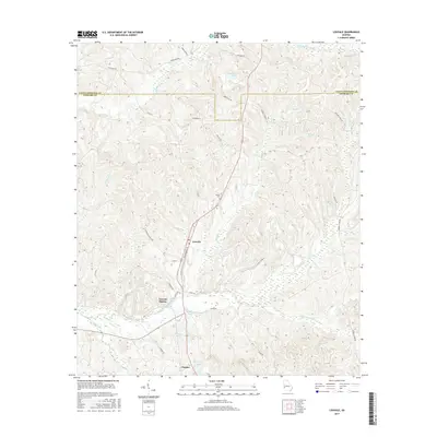
1955 Louvale
Stewart County, GA
1955 Lumpkin SW
Stewart County, GA
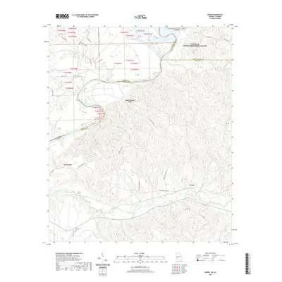
1955 Union
Stewart County, GA
1957 Omaha
Stewart County, GA
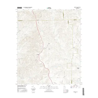
1972 Benevolence
Stewart County, GA
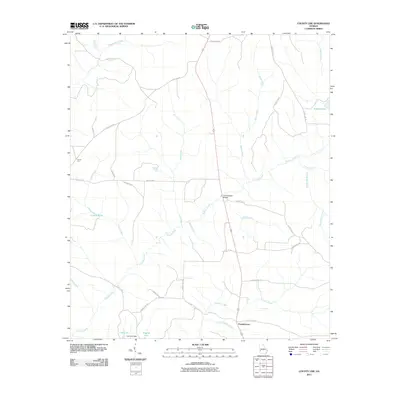
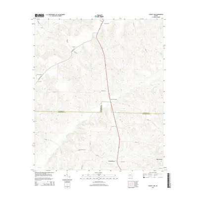
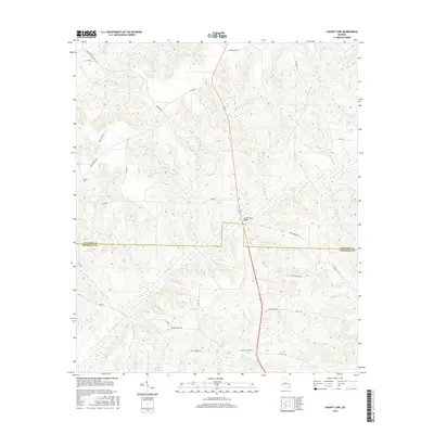
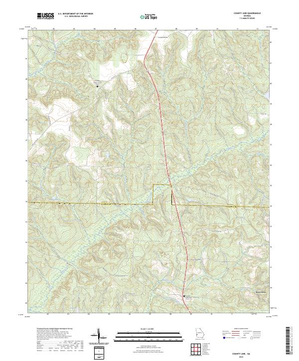
1972 County Line
Stewart County, GA
1973 Brooklyn
Stewart County, GA
2011 Benevolence
Stewart County, GA
2011 Brooklyn
Stewart County, GA
2011 County Line
Stewart County, GA
2011 Louvale
Stewart County, GA
2011 Lumpkin SW
Stewart County, GA
2011 Omaha
Stewart County, GA
2011 Union
Stewart County, GA

2014 Benevolence
Stewart County, GA
2014 Brooklyn
Stewart County, GA
2014 County Line
Stewart County, GA
2014 Louvale
Stewart County, GA
2014 Lumpkin SW
Stewart County, GA
2014 Omaha
Stewart County, GA
2014 Union
Stewart County, GA
2017 Benevolence
Stewart County, GA
2017 Brooklyn
Stewart County, GA
2017 County Line
Stewart County, GA
2017 Louvale
Stewart County, GA
2017 Lumpkin SW
Stewart County, GA
2017 Omaha
Stewart County, GA
2017 Union
Stewart County, GA
2020 Benevolence
Stewart County, GA
2020 Brooklyn
Stewart County, GA
2020 County Line
Stewart County, GA
2020 Louvale
Stewart County, GA
2020 Lumpkin SW
Stewart County, GA
2020 Omaha
Stewart County, GA
2020 Union
Stewart County, GA
2024 Benevolence
Stewart County, GA
2024 Brooklyn
Stewart County, GA
2024 County Line
Stewart County, GA
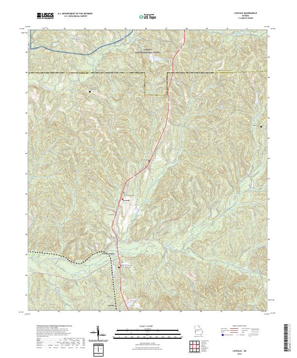
2024 Louvale
Stewart County, GA
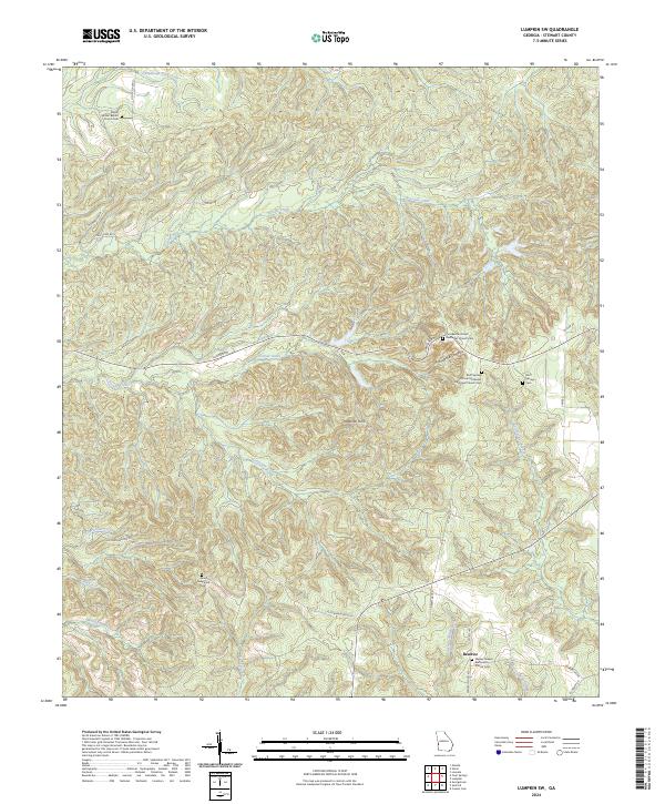
2024 Lumpkin SW
Stewart County, GA
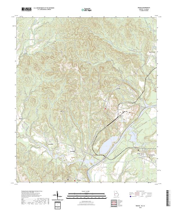
2024 Omaha
Stewart County, GA
2024 Union
Stewart County, GA