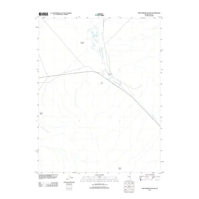
2012 Map of Twin Springs Slough
USGS Topo · Published 2012About this map
Hot Creek Valley and the Reveille Valley converge in this high-desert landscape of Nye County, where water sources dictate the placement of human settlement. The drainage of Twin Springs Slough serves as the primary geographic axis, supporting sites like Twin Springs Ranch and the nearby Falani Ranch. These isolated ranching outposts are connected by the remote stretch of Highway 375 and the unpaved Twin Springs Ranch Rd, reflecting the sparse habitation patterns of the Great Basin. To the north, the intermittent flow of Hot Creek and the presence of Cane Spring provide critical moisture in an otherwise arid environment. The southern portion of the map is defined by the distinctively named Goblin Knobs, which rise above the valley floor to mark the rugged topography of this sparsely populated interior region.
Find a feature on this map
11 named features on this map. Tap any name to fly to it.
Don’t see what you’re looking for? This feature index may not catch every label — zoom into the map to look around manually.
Map Details
Editions of this 2012 Twin Springs Slough Map
This is the sole edition of this map. No revisions or reprints were ever made.
Other maps of this area

1956 · Tonopah
USGS Topo · 1:250,000

1959 · Tonopah
USGS Topo · 1:250,000

1962 · Tonopah
USGS Topo · 1:250,000
1967 · Lunar Crater
USGS Topo · 1:62,500
1967 · Buckwheat Rim
USGS Topo · 1:24,000
1967 · Chuck Wagon Flat
USGS Topo · 1:24,000
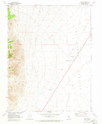
1967 · Tybo SE
USGS Topo · 1:24,000
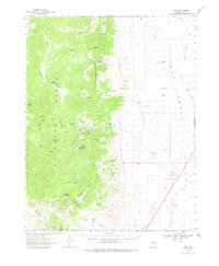
1968 · Tybo
USGS Topo · 1:62,500
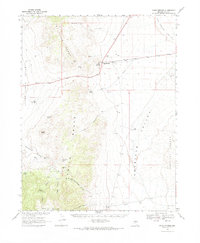
1968 · Warm Springs
USGS Topo · 1:62,500
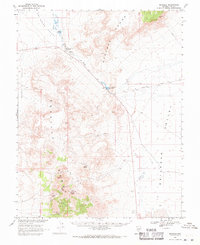
1968 · Reveille
USGS Topo · 1:62,500