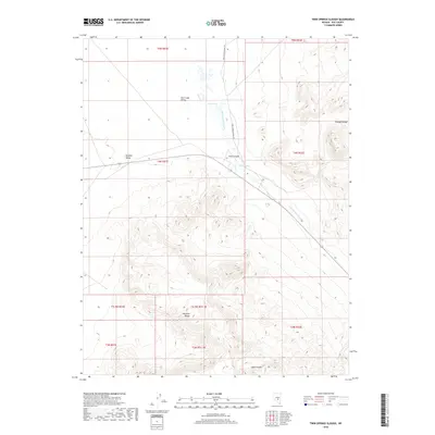
2018 Map of Twin Springs Slough
USGS Topo · Published 2018About this map
Hot Creek Valley and Reveille Valley dominate this high-desert landscape in central Nye County, where the desert floor is punctuated by vital water sources like Twin Springs and Cane Spring. The hydrology of this arid basin is defined by Twin Springs Slough and the seasonal path of Hot Cr. The topography shifts dramatically as the valley floor rises into the ridges of the Pancake Range to the northeast and the Reveille Range in the south. Notable geological features like Goblin Knobs and the mouth of Echo Canyon provide distinct landmarks in a region largely defined by vast open basins and isolation. The presence of Twin Springs Ranch Rd indicates the sparse but enduring ranching infrastructure essential to this part of the Great Basin.
Find a feature on this map
20 named features on this map. Tap any name to fly to it.
Don’t see what you’re looking for? This feature index may not catch every label — zoom into the map to look around manually.
Map Details
Editions of this 2018 Twin Springs Slough Map
This is the sole edition of this map. No revisions or reprints were ever made.
Other maps of this area

1956 · Tonopah
USGS Topo · 1:250,000

1959 · Tonopah
USGS Topo · 1:250,000

1962 · Tonopah
USGS Topo · 1:250,000
1967 · Lunar Crater
USGS Topo · 1:62,500
1967 · Buckwheat Rim
USGS Topo · 1:24,000
1967 · Chuck Wagon Flat
USGS Topo · 1:24,000
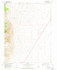
1967 · Tybo SE
USGS Topo · 1:24,000
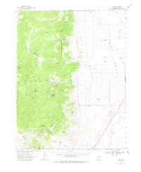
1968 · Tybo
USGS Topo · 1:62,500
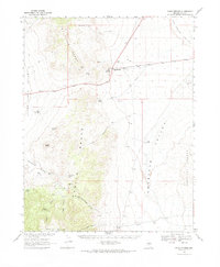
1968 · Warm Springs
USGS Topo · 1:62,500
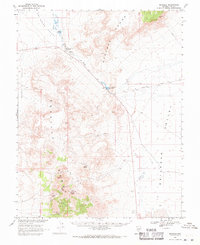
1968 · Reveille
USGS Topo · 1:62,500