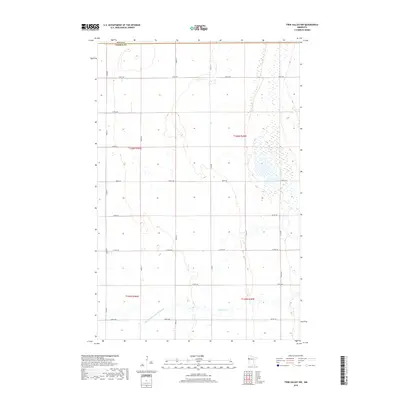
2019 Map of Twin Valley NW
USGS Topo · Published 2019About this map
The borderlands between Polk Co and Norman Co are defined by a vast expanse of wetlands and precisely engineered drainage systems in this rural Minnesota landscape. The southern portion of the quadrangle is bisected by the State Ditch Number Sixtyeight, a major water management feature characteristic of the region's agricultural development. This hydraulic infrastructure, alongside Spring Cr, works to manage the high water table inherent to the Red River Valley transition zone, allowing for the grid of section roads that crisscross the territory.
Find a feature on this map
24 named features on this map. Tap any name to fly to it.
Don’t see what you’re looking for? This feature index may not catch every label — zoom into the map to look around manually.
Map Details
Editions of this 2019 Twin Valley NW Map
This is the sole edition of this map. No revisions or reprints were ever made.
Other maps of this area
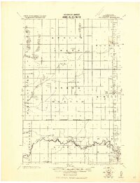
1918 · Twin Valley
USGS Topo · 1:62,500
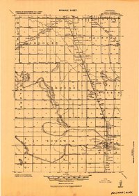
1919 · Beltrami
USGS Topo · 1:62,500
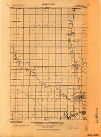
1924 · Ada
USGS Topo · 1:62,500
1952 · Grand Forks
USGS Topo · 1:250,000
1956 · Grand Forks
USGS Topo · 1:250,000
1964 · Beltrami
USGS Topo · 1:24,000
1965 · Lockhart
USGS Topo · 1:24,000
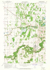
1965 · Fertile
USGS Topo · 1:24,000
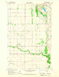
1965 · Melvin
USGS Topo · 1:24,000
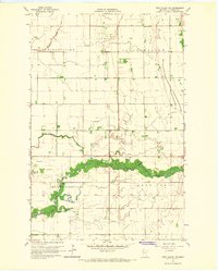
1965 · Twin Valley SW
USGS Topo · 1:24,000