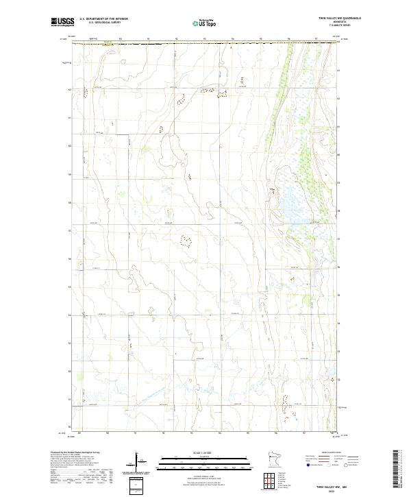
2022 Map of Twin Valley NW
USGS Topo · Published 2022About this map
Polk Co and Norman Co meet along the northern edge of this agricultural landscape in the Red River Valley region. The terrain is defined by a strictly surveyed grid of section lines and gravel roads, including 330th Ave and 300th Ave, reflecting the enduring structure of the Public Land Survey System in rural Minnesota. Water management is a central theme of the local geography, visible in the engineered course of State Ditch Number Sixty-eight and the winding path of Spring Cr as they move across the low-lying plains. While modern in its 2022 data, the map preserves the exact placement of ancestral farmsteads and rural infrastructure that have shaped this prairie environment for generations. The dense network of county roads, such as Co Rd 125 and Co Rd 143, provides a detailed look at the connectivity of this sparsely populated but highly organized farming district.
Find a feature on this map
25 named features on this map. Tap any name to fly to it.
Don’t see what you’re looking for? This feature index may not catch every label — zoom into the map to look around manually.
Map Details
Editions of this 2022 Twin Valley NW Map
This is the sole edition of this map. No revisions or reprints were ever made.
Other maps of this area

1918 · Twin Valley
USGS Topo · 1:62,500

1919 · Beltrami
USGS Topo · 1:62,500

1924 · Ada
USGS Topo · 1:62,500

1952 · Grand Forks
USGS Topo · 1:250,000

1956 · Grand Forks
USGS Topo · 1:250,000

1964 · Beltrami
USGS Topo · 1:24,000

1965 · Lockhart
USGS Topo · 1:24,000

1965 · Fertile
USGS Topo · 1:24,000

1965 · Melvin
USGS Topo · 1:24,000

1965 · Twin Valley SW
USGS Topo · 1:24,000