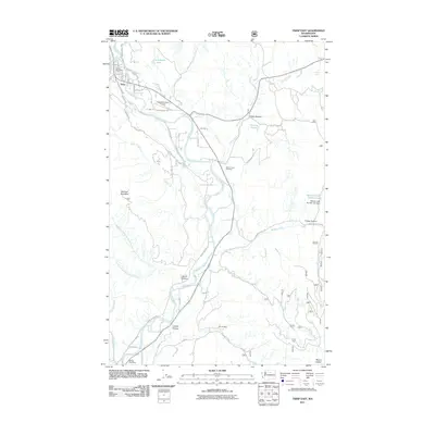
2011 Map of Twisp East
USGS Topo · Published 2011About this map
The Methow River corridor dominates this 2011 survey, showing the valley's settlement patterns south of the confluence with Beaver Creek. The town of Twisp serves as the primary hub, where the Twisp Post Office and Twisp Municipal Airport are situated along a network of canyon roads. The landscape is defined by deep draws and high points, including McClure Mountain and Mount Leecher, with human history marked by the Minnie Mine and Beaver Creek Cemetery.
Find a feature on this map
55 named features on this map. Tap any name to fly to it.
Don’t see what you’re looking for? This feature index may not catch every label — zoom into the map to look around manually.
Map Details
Editions of this 2011 Twisp East Map
This is the sole edition of this map. No revisions or reprints were ever made.
Other maps of this area

1899 · Methow
USGS Topo · 1:125,000

1901 · Methow
USGS Topo · 1:125,000

1905 · Okanogan
USGS Topo · 1:125,000

1954 · Okanogan
USGS Topo · 1:250,000

1955 · Concrete
USGS Topo · 1:250,000

1956 · Loup Loup
USGS Topo · 1:62,500

1957 · Brewster
USGS Topo · 1:62,500

1958 · Concrete
USGS Topo · 1:250,000

1958 · Okanogan
USGS Topo · 1:250,000

1962 · Concrete
USGS Topo · 1:250,000