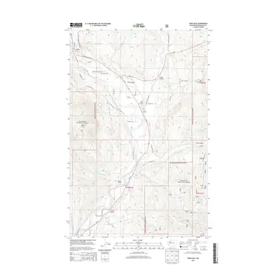
2014 Map of Twisp East
USGS Topo · Published 2014About this map
Twisp sits at the confluence of the valley's major travel corridors, serving as a gateway to the high country of the Okanogan National Forest. This 2014 survey details the complex geography of the Methow Valley, where the Methow River carves through a landscape of significant peaks like McClure Mtn and Mt Leecher. The settlement pattern follows the valley floor, connected by roads such as the Twisp-Carlton Rd and the E Methow Valley Hwy. Aviation history is visible through both the Twisp Municipal Airport and the smaller Port Field Airport. Local genealogy and land use are anchored by the Beaver Creek Cem and numerous named canyons, including Finley Canyon and Booth Canyon, illustrating how the ranching and timber heritage of Okanogan County is etched into the terrain.
Find a feature on this map
56 named features on this map. Tap any name to fly to it.
Don’t see what you’re looking for? This feature index may not catch every label — zoom into the map to look around manually.
Map Details
Editions of this 2014 Twisp East Map
This is the sole edition of this map. No revisions or reprints were ever made.
Other maps of this area

1899 · Methow
USGS Topo · 1:125,000

1901 · Methow
USGS Topo · 1:125,000

1905 · Okanogan
USGS Topo · 1:125,000

1954 · Okanogan
USGS Topo · 1:250,000

1955 · Concrete
USGS Topo · 1:250,000

1956 · Loup Loup
USGS Topo · 1:62,500

1957 · Brewster
USGS Topo · 1:62,500

1958 · Concrete
USGS Topo · 1:250,000

1958 · Okanogan
USGS Topo · 1:250,000

1962 · Concrete
USGS Topo · 1:250,000