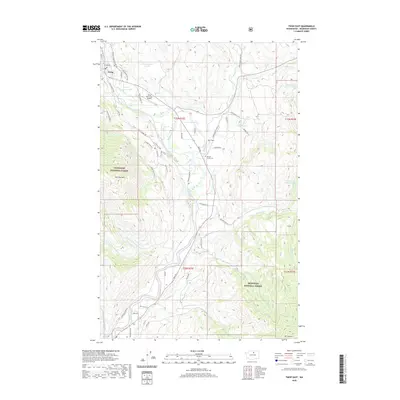
2020 Map of Twisp East
USGS Topo · Published 2020About this map
The Methow River corridor dominates this 2020 layout, flowing through a landscape defined by the high peaks of the Okanogan National Forest. High points like McClure Mtn and Mt Leecher frame the valley, where the settlement of Twisp serves as a hub for local aviation at the Twisp Municipal Airport. The mapping reveals a detailed network of valley roads and mountain tracks, such as Twisp-Carlton Rd and Finley Canyon Rd, which navigate the steep topography.
Find a feature on this map
57 named features on this map. Tap any name to fly to it.
Don’t see what you’re looking for? This feature index may not catch every label — zoom into the map to look around manually.
Map Details
Editions of this 2020 Twisp East Map
This is the sole edition of this map. No revisions or reprints were ever made.
Other maps of this area

1899 · Methow
USGS Topo · 1:125,000

1901 · Methow
USGS Topo · 1:125,000

1905 · Okanogan
USGS Topo · 1:125,000

1954 · Okanogan
USGS Topo · 1:250,000

1955 · Concrete
USGS Topo · 1:250,000

1956 · Loup Loup
USGS Topo · 1:62,500

1957 · Brewster
USGS Topo · 1:62,500

1958 · Concrete
USGS Topo · 1:250,000

1958 · Okanogan
USGS Topo · 1:250,000

1962 · Concrete
USGS Topo · 1:250,000