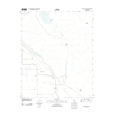
2012 Map of Twitchell Dam
USGS Topo · Published 2012About this map
Twitchell Dam and its expansive Twitchell Reservoir anchor this 2012 survey of the water systems northeast of Santa Maria. The landscape is defined by the convergence of major waterways, including the Cuyama River and Sisquoc River, which merge to form the wide bed of the Santa Maria River. This hydrological nexus serves as a critical point for the Santa Maria Valley, where the terrain transitions from the steep slopes of Los Coches Mountain and Cañada De Los Coches to the agricultural flats near Garey. Local landmarks such as Fulger Point and Gates sit among a grid of rural roads like Rancho Tepesquet Rd and Fugler Rd, illustrating the intersection of modern infrastructure with the natural drainage basins of Bradley Canyon and Santa Maria Canyon.
Find a feature on this map
26 named features on this map. Tap any name to fly to it.
Don’t see what you’re looking for? This feature index may not catch every label — zoom into the map to look around manually.
Map Details
Editions of this 2012 Twitchell Dam Map
This is the sole edition of this map. No revisions or reprints were ever made.
Other maps of this area

1905 · Lompoc
USGS Topo · 1:125,000

1922 · Nipomo
USGS Topo · 1:62,500

1937 · Branch Mtn
USGS Topo · 1:48,000

1942 · Lompoc
USGS Topo · 1:125,000

1942 · Santa Maria
USGS Topo · 1:62,500

1942 · Branch Mountain
USGS Topo · 1:62,500

1942 · Tepusquet Peak
USGS Topo · 1:62,500

1943 · Tepusquet Peak
USGS Topo · 1:62,500

1943 · Lompoc
USGS Topo · 1:125,000

1947 · Careaga Canyon
USGS Topo · 1:24,000