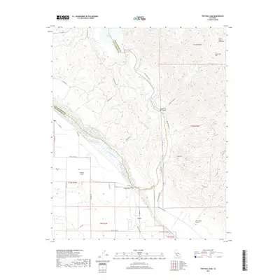
2018 Map of Twitchell Dam
USGS Topo · Published 2018About this map
Twitchell Dam stands as a central infrastructure point at the confluence of the Cuyama River and Suey Cr, managing the waters of the Twitchell Reservoir along the border of Santa Barbara and San Luis Obispo counties. The geography transition is sharp here, moving from the steep elevations of the Sierra Madre Mountains and Los Coches Mtn into the broad, alluvial plains of the Santa Maria Valley. The small settlement of Garey lies at the southern end of this reach, where the Sisquoc River and Cuyama merge to form the Santa Maria River. This area is marked by a network of ranch and access roads such as Foxen Canyon Rd and Santa Maria Mesa Rd, which follow the natural contours of the drainage basins and canyons like Bradley Canyon and Cañada De Los Coches.
Find a feature on this map
40 named features on this map. Tap any name to fly to it.
Don’t see what you’re looking for? This feature index may not catch every label — zoom into the map to look around manually.
Map Details
Editions of this 2018 Twitchell Dam Map
This is the sole edition of this map. No revisions or reprints were ever made.
Other maps of this area

1905 · Lompoc
USGS Topo · 1:125,000

1922 · Nipomo
USGS Topo · 1:62,500

1937 · Branch Mtn
USGS Topo · 1:48,000

1942 · Lompoc
USGS Topo · 1:125,000

1942 · Santa Maria
USGS Topo · 1:62,500

1942 · Branch Mountain
USGS Topo · 1:62,500

1942 · Tepusquet Peak
USGS Topo · 1:62,500

1943 · Tepusquet Peak
USGS Topo · 1:62,500

1943 · Lompoc
USGS Topo · 1:125,000

1947 · Careaga Canyon
USGS Topo · 1:24,000