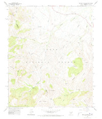
1964 Map of Two Bar Mountain
USGS Topo · Published 1973About this map
Two Bar Ranch and Horrell Ranch anchor this mid-century survey of the high desert terrain along the Gila and Maricopa County line. The map reveals a landscape defined by seasonal water and cattle ranching within the Tonto National Forest. An intricate network of trails, jeep trails, and pack trails connects remote landmarks like Gunsight Gap and the geologic formations of Nonesuch Rocks. Local educational history is evidenced by the solitary Schoolhouse situated north of Two Bar Canyon. The drainage patterns of Campaign Creek and Pinto Creek dictate the movement across the slopes of Two Bar Mountain and Granite Mountain, reflecting the practical geographic realities for residents and land managers in the early 1960s.
Find a feature on this map
36 named features on this map. Tap any name to fly to it.
Don’t see what you’re looking for? This feature index may not catch every label — zoom into the map to look around manually.
Map Details
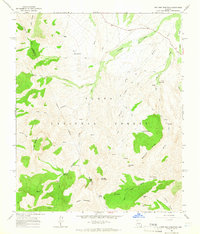
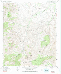
Editions of this 1964 Two Bar Mountain Map
3 editions found
Other maps of this area

1900 · Florence
USGS Topo · 1:125,000

1901 · Globe
USGS Topo · 1:62,500

1902 · Globe
USGS Topo · 1:62,500

1902 · Florence
USGS Topo · 1:125,000

1907 · Roosevelt
USGS Topo · 1:125,000

1909 · Four Peaks
USGS Topo · 1:125,000

1912 · Roosevelt
USGS Topo · 1:125,000

1922 · Chrysotile
USGS Topo · 1:125,000

1945 · Inspiration
USGS Topo · 1:24,000

1947 · Inspiration
USGS Topo · 1:24,000