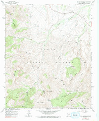
1964 Map of Two Bar Mountain
USGS Topo · Published 1990About this map
Tonto National Forest land dominates this 1964 survey of the Gila and Maricopa County line, characterized by a complex network of canyons and high ridges. Isolated ranching operations such as Two Bar Ranch and Horrell Ranch sit amidst the high desert terrain, connected by a skeletal system of Jeep Trails and Pack Trails. A lonely Schoolhouse near the Two Bar Ranch suggests the presence of a small, dispersed community in the mid-20th century.
Find a feature on this map
31 named features on this map. Tap any name to fly to it.
Don’t see what you’re looking for? This feature index may not catch every label — zoom into the map to look around manually.
Map Details
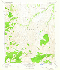
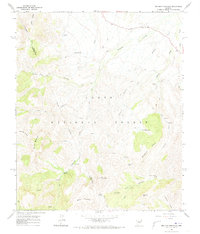
Editions of this 1964 Two Bar Mountain Map
3 editions found
Other maps of this area

1900 · Florence
USGS Topo · 1:125,000

1901 · Globe
USGS Topo · 1:62,500

1902 · Globe
USGS Topo · 1:62,500

1902 · Florence
USGS Topo · 1:125,000

1907 · Roosevelt
USGS Topo · 1:125,000

1909 · Four Peaks
USGS Topo · 1:125,000

1912 · Roosevelt
USGS Topo · 1:125,000

1922 · Chrysotile
USGS Topo · 1:125,000

1945 · Inspiration
USGS Topo · 1:24,000

1947 · Inspiration
USGS Topo · 1:24,000