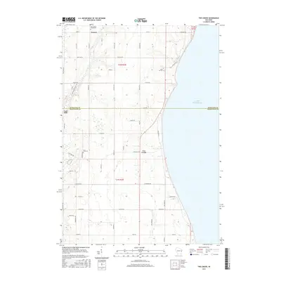
2015 Map of Two Creeks
USGS Topo · Published 2015About this map
Lake Michigan dominates the eastern edge of this coastal landscape, where the border of Kewaunee and Manitowoc counties meets the shoreline. The terrain is defined by a grid of rural roads and the winding course of the East Twin River, which snakes through the western portion of the quadrangle. Several small communities anchor the area, including Norman, Tisch Mills, and Two Creeks, each serving as historical touchpoints for the surrounding agricultural land. Local history is well-preserved through several dedicated sites, such as Saint Josephs Catholic Cem and Saint Johns Cem near the river, while the Sandy Bay Cem sits closer to the lake. The presence of the Ice Age National Scenic Trail near Co Rd B highlights the intersection of modern recreation with the area's distinct glacial topography.
Find a feature on this map
48 named features on this map. Tap any name to fly to it.
Don’t see what you’re looking for? This feature index may not catch every label — zoom into the map to look around manually.
Map Details
Editions of this 2015 Two Creeks Map
This is the sole edition of this map. No revisions or reprints were ever made.
Other maps of this area

1954 · Kewaunee
USGS Topo · 1:62,500

1954 · Manitowoc
USGS Topo · 1:62,500

1954 · Manitowoc
USGS Topo · 1:250,000

1958 · Manitowoc
USGS Topo · 1:250,000
1978 · Two Rivers
USGS Topo · 1:24,000

1978 · Stangelville
USGS Topo · 1:24,000
1978 · Larrabee
USGS Topo · 1:24,000
1978 · Kewaunee
USGS Topo · 1:24,000
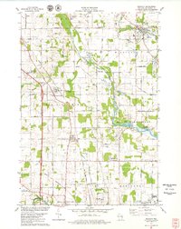
1978 · Mishicot
USGS Topo · 1:24,000
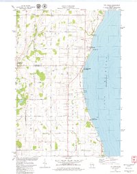
1978 · Two Creeks
USGS Topo · 1:24,000