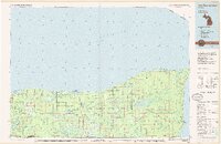
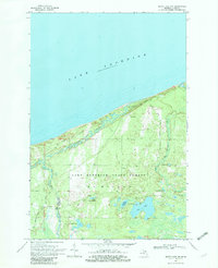
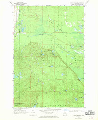
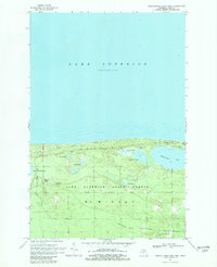
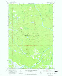
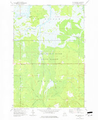
1985 Map of Two Hearted River
USGS Topo · Published 1985This historical map portrays the area of Two Hearted River in 1985, primarily covering Luce County as well as portions of Chippewa County, Alger County, and Schoolcraft County. Featuring a scale of 1:100000, this map provides a highly detailed snapshot of the terrain, roads, buildings, counties, and historical landmarks in the Two Hearted River region at the time. Published in 1985, it is one of 2 known editions of this map due to revisions or reprints.
Find a feature on this map
108 named features on this map. Tap any name to fly to it.
Don’t see what you’re looking for? This feature index may not catch every label — zoom into the map to look around manually.
Map Details
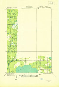
Editions of this 1985 Two Hearted River Map
2 editions found
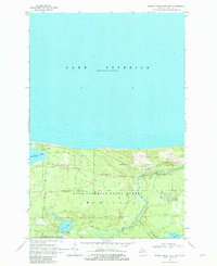
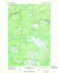
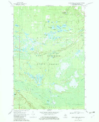
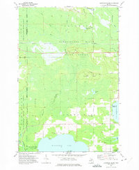
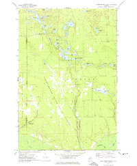
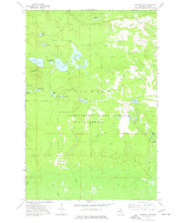
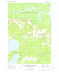
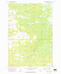
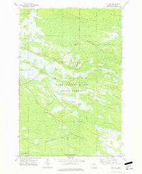
Historical Maps of Pine Stump Junction Through Time
21 maps found
1931 Seney SE
Luce County, MI
1962 Auger Lake
Luce County, MI
1968 Betsy Lake North
Luce County, MI
1968 Betsy Lake NW
Luce County, MI
1968 Betsy Lake South
Luce County, MI
1968 Betsy Lake SW
Luce County, MI
1968 Grand Marais NE
Luce County, MI
1968 Grand Marais SE
Luce County, MI
1968 Muskallonge Lake East
Luce County, MI
1968 Muskallonge Lake SE
Luce County, MI
1968 Muskallonge Lake SW
Luce County, MI
1968 Muskallonge Lake West
Luce County, MI
1972 Hardwood Island
Luce County, MI
1972 Tahquamenon Lakes
Luce County, MI
1973 Buckeye Lake
Luce County, MI
1973 Gimlet Creek
Luce County, MI
1973 McMillan
Luce County, MI
1973 Roberts Corner
Luce County, MI
1973 Roy Lake
Luce County, MI
1973 Soo Junction
Luce County, MI
1985 Two Hearted River
Luce County, MI
Featured Locations
- Seney Township, MI
- Whitefish Township, MI
- Burt Township, MI
- Vermilion, Whitefish Township
- Pine Stump Junction, McMillan Township