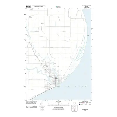
2010 Map of Two Rivers
USGS Topo · Published 2010About this map
Two Rivers sits at the confluence of the East Twin River and West Twin River, where they empty into Lake Michigan. This 2010 survey highlights the maritime and agricultural character of the Manitowoc County shoreline, anchored by the Two Rivers Post Office and the harbor infrastructure of the North Pier Light and South Pier Light. The landscape reveals a mix of local history and modern recreation, featuring several burial grounds such as Saxonburg Cemetery and Forest View Cemetery, alongside private aviation sites like Mueller Farm-Vintage Aero Airport and the Englebert Farms Landing Strip. North of the city center, the terrain transitions into the coastal wetlands of Molash Creek and the prominent protrusion of Rawley Point, illustrating the geographic features that define this stretch of the Wisconsin coast.
Find a feature on this map
36 named features on this map. Tap any name to fly to it.
Don’t see what you’re looking for? This feature index may not catch every label — zoom into the map to look around manually.
Map Details
Editions of this 2010 Two Rivers Map
This is the sole edition of this map. No revisions or reprints were ever made.
Other maps of this area

1954 · Kewaunee
USGS Topo · 1:62,500

1954 · Manitowoc
USGS Topo · 1:62,500

1954 · Manitowoc
USGS Topo · 1:24,000

1954 · Manitowoc
USGS Topo · 1:250,000

1958 · Manitowoc
USGS Topo · 1:250,000
1978 · Two Rivers
USGS Topo · 1:24,000
1978 · Larrabee
USGS Topo · 1:24,000
1978 · Mishicot
USGS Topo · 1:24,000
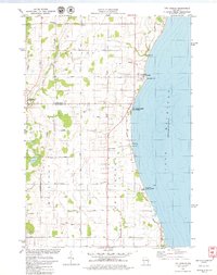
1978 · Two Creeks
USGS Topo · 1:24,000
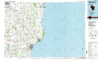
1984 · Manitowoc
USGS Topo · 1:100,000