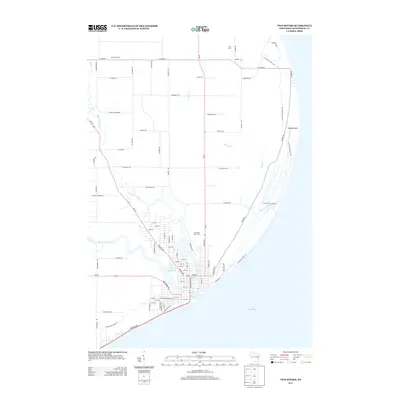
2013 Map of Two Rivers
USGS Topo · Published 2013About this map
The East Twin River and West Twin River converge near the shoreline of Lake Michigan in this 2013 survey of the Wisconsin coast. The map details a landscape where residential developments like Irish Acres and Schmidt Farms meet the natural corridor of the Ice Age Natl Scenic Trl. This trail follows the coastal curve past Rawley Point and through the marshes of Molash Creek, illustrating the intersection of recreation and conservation along the lakefront.
Find a feature on this map
79 named features on this map. Tap any name to fly to it.
Don’t see what you’re looking for? This feature index may not catch every label — zoom into the map to look around manually.
Map Details
Editions of this 2013 Two Rivers Map
This is the sole edition of this map. No revisions or reprints were ever made.
Other maps of this area

1954 · Kewaunee
USGS Topo · 1:62,500

1954 · Manitowoc
USGS Topo · 1:62,500

1954 · Manitowoc
USGS Topo · 1:24,000

1954 · Manitowoc
USGS Topo · 1:250,000

1958 · Manitowoc
USGS Topo · 1:250,000
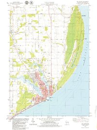
1978 · Two Rivers
USGS Topo · 1:24,000
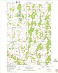
1978 · Larrabee
USGS Topo · 1:24,000
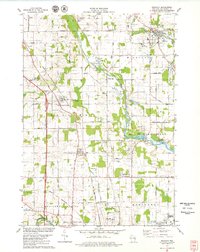
1978 · Mishicot
USGS Topo · 1:24,000
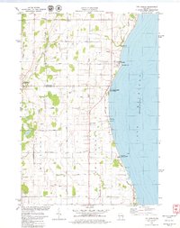
1978 · Two Creeks
USGS Topo · 1:24,000
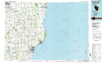
1984 · Manitowoc
USGS Topo · 1:100,000